Pinotepa Nacional night lights from space
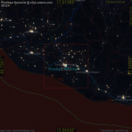
Night Light of Pinotepa Nacional (Oaxaca) from space (Mexico) Src. Average luminocity for 10x10km area is 14.938% and for 50x50km: 1.7235%.
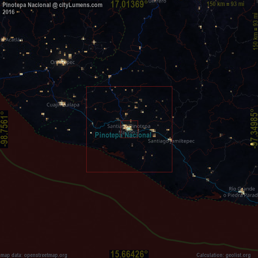
Analysis of Pinotepa Nacional night lights 2016
Square area 10x10 km:
 0%
0%90-99
1.45%80-89
2.69%70-79
5.58%60-69
1.86%50-59
0.83%40-49
1.65%30-39
2.48%20-29
1.45%10-19
1.65%0-9
80.37%Square area 50x50 km:
0%90-99
0.06%80-89
0.24%70-79
0.37%60-69
0.25%50-59
0.25%40-49
0.41%30-39
0.61%20-29
0.4%10-19
0.36%0-9
97.05%Clear (daylight) street map image can be seen on geolist.org.
Map coordinates:
17° 0' 49.3" North, 98° 45' 22" West
16° 20' 24.5" North, 98° 3' 10.7" West
15° 39' 51.3" North, 97° 20' 59.5" West
Some cities around Pinotepa Nacional sort by population:
• Ometepec
54.3 km =33.7 mi,  315°
315°
• Río Grande
75.4 km =46.9 mi,  119°
119°
• Putla Villa de Guerrero
77.4 km =48.1 mi,  9°
9°
• Cuajinicuilapa
41.3 km =25.7 mi,  291°
291°
• Jamiltepec
25.2 km =15.7 mi,  104°
104°
• Santa Catarina Juquila
82 km =51 mi, 97°
• San Miguel Panixtlahuaca
72.7 km =45.2 mi, 97°
• San Juan Colorado
17 km =10.6 mi,  38°
38°
3516926 (p: 29,604)
Sources (retrieved 2019-11-25):
» Earth at Night: Flat Maps 2012, 2016