San Luis Acatlán night lights from space
Night Light of San Luis Acatlán (Guerrero) from space (Mexico) Src. Average luminocity for 10x10km area is 5.6299% and for 50x50km: 0.943%.
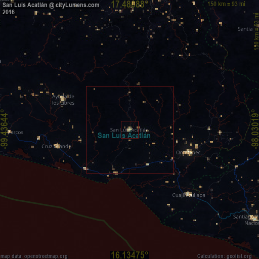
Analysis of San Luis Acatlán night lights 2016
Square area 10x10 km:
 0%
0%90-99
0%80-89
0.87%70-79
0.43%60-69
2.16%50-59
2.6%40-49
0.22%30-39
0.65%20-29
0.87%10-19
1.08%0-9
91.13%Square area 50x50 km:
0%90-99
0.01%80-89
0.14%70-79
0.12%60-69
0.28%50-59
0.18%40-49
0.21%30-39
0.18%20-29
0.41%10-19
0.23%0-9
98.24%Clear (daylight) street map image can be seen on geolist.org.
Map coordinates:
17° 28' 51.2" North, 99° 26' 11.2" West
16° 48' 32.4" North, 98° 43' 59.9" West
16° 8' 5.1" North, 98° 1' 48.7" West
Some cities around San Luis Acatlán sort by population:
• Tlapa de Comonfort
83.6 km =51.9 mi,  11°
11°
• Ometepec
37.1 km =23.1 mi,  110°
110°
• Ayutla de los Libres
42.3 km =26.3 mi,  294°
294°
• San Marcos
69.8 km =43.4 mi,  268°
268°
• Cruz Grande
42.6 km =26.5 mi,  256°
256°
• Cuajinicuilapa
50.5 km =31.4 mi,  137°
137°
• Copala
34.4 km =21.4 mi,  229°
229°
• Marquelia
26.6 km =16.5 mi,  199°
199°
3518491 (p: 8,276)
Sources (retrieved 2019-11-25):
» Earth at Night: Flat Maps 2012, 2016