Jiménez night lights from space
Night Light of Jiménez (Chihuahua) from space (Mexico) Src. Average luminocity for 10x10km area is 6.752% and for 50x50km: 6.9098%.
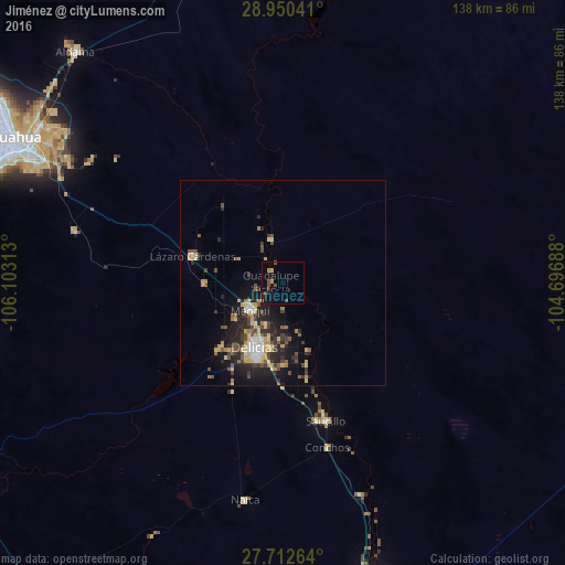
Analysis of Jiménez night lights 2016
Square area 10x10 km:
 0%
0%90-99
0%80-89
0%70-79
1.59%60-69
1.19%50-59
1.19%40-49
3.17%30-39
0.79%20-29
0.99%10-19
4.17%0-9
86.9%Square area 50x50 km:
0.39%90-99
0.57%80-89
1.4%70-79
1.25%60-69
0.59%50-59
1%40-49
1.29%30-39
1.25%20-29
2.6%10-19
4.67%0-9
85%Clear (daylight) street map image can be seen on geolist.org.
Map coordinates:
28° 57' 1.5" North, 106° 6' 11.3" West
28° 19' 60" North, 105° 24' 0" West
27° 42' 45.5" North, 104° 41' 48.8" West
Some cities around Jiménez sort by population:
• Chihuahua
75.2 km =46.7 mi,  296°
296°
• Ciudad Delicias
17.3 km =10.7 mi,  203°
203°
• Meoqui
10.4 km =6.5 mi,  229°
229°
• Saucillo
35.2 km =21.9 mi,  162°
162°
• Lázaro Cárdenas
22.8 km =14.2 mi,  286°
286°
• Ampliación Colonia Lázaro Cárdenas
21.9 km =13.6 mi,  284°
284°
• Santa Eulalia
55.8 km =34.7 mi, 301°
• Rosales
22.4 km =13.9 mi,  223°
223°
4003938 (p: 31,054)
Sources (retrieved 2019-11-25):
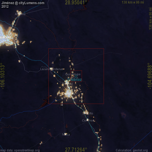
» Earth at Night: Flat Maps 2012, 2016