Ocampo night lights from space
Night Light of Ocampo (Tamaulipas) from space (Mexico) Src. Average luminocity for 10x10km area is 1.375% and for 50x50km: 0.0604%.
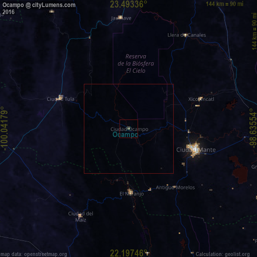
Analysis of Ocampo night lights 2016
Square area 10x10 km:
 0%
0%90-99
0%80-89
0%70-79
0%60-69
0.4%50-59
0.4%40-49
0.4%30-39
1.39%20-29
0.6%10-19
0%0-9
96.83%Square area 50x50 km:
0%90-99
0%80-89
0%70-79
0%60-69
0.02%50-59
0.02%40-49
0.02%30-39
0.06%20-29
0.02%10-19
0.03%0-9
99.84%Clear (daylight) street map image can be seen on geolist.org.
Map coordinates:
23° 29' 36.1" North, 100° 2' 30.4" West
22° 50' 49" North, 99° 20' 19.2" West
22° 11' 50.9" North, 98° 38' 7.9" West
Some cities around Ocampo sort by population:
• Ciudad Mante
39.1 km =24.3 mi,  107°
107°
• Cárdenas
99.1 km =61.6 mi,  198°
198°
• González
93.4 km =58 mi,  91°
91°
• El Naranjo
35.7 km =22.2 mi,  178°
178°
• Ciudad del Maíz
56.5 km =35.1 mi,  208°
208°
• Ciudad Tula
41.6 km =25.8 mi,  293°
293°
• Xicoténcatl
43.9 km =27.3 mi,  67°
67°
• Jaumave
62.3 km =38.7 mi,  356°
356°
3522493 (p: 5,095)
Sources (retrieved 2019-11-25):
» Earth at Night: Flat Maps 2012, 2016