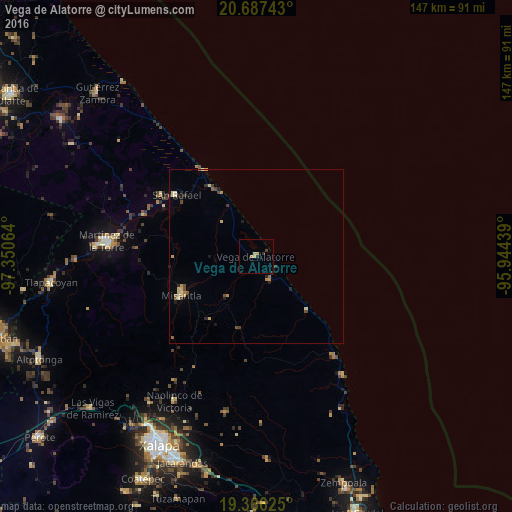
Vega de Alatorre night lights from space
Night Light of Vega de Alatorre (Veracruz) from space (Mexico) Src. Average luminocity for 10x10km area is 4.0119% and for 50x50km: 1.4678%.
Analysis of Vega de Alatorre night lights 2016
Square area 10x10 km:
 0%
0%90-99
0%80-89
1.79%70-79
0.6%60-69
0.79%50-59
0%40-49
0.2%30-39
0.79%20-29
1.79%10-19
0%0-9
94.05%Square area 50x50 km:
0%90-99
0.11%80-89
0.42%70-79
0.25%60-69
0.19%50-59
0.14%40-49
0.34%30-39
0.22%20-29
0.41%10-19
0.27%0-9
97.66%Clear (daylight) street map image can be seen on geolist.org.
Map coordinates:
20° 41' 14.7" North, 97° 21' 2.3" West
20° 1' 41.6" North, 96° 38' 51" West
19° 21' 58.5" North, 95° 56' 39.8" West
Some cities around Vega de Alatorre sort by population:
• Martínez de la Torre
43.4 km =27 mi,  276°
276°
• Misantla
24 km =14.9 mi,  242°
242°
• Banderilla
57.5 km =35.7 mi,  211°
211°
• Villa Independencia
42.4 km =26.3 mi,  274°
274°
• Naolinco de Victoria
47.8 km =29.7 mi, 209°
• Coacoatzintla
51.9 km =32.2 mi,  216°
216°
• San Rafael
29.1 km =18.1 mi,  307°
307°
• Villa Emilio Carranza
7.5 km =4.7 mi,  149°
149°
3514843 (p: 7,653)
Sources (retrieved 2019-11-25):
» Earth at Night: Flat Maps 2012, 2016