Maravatío de Ocampo night lights from space
Night Light of Maravatío de Ocampo (Michoacán) from space (Mexico) Src. Average luminocity for 10x10km area is 21.881% and for 50x50km: 5.0953%.
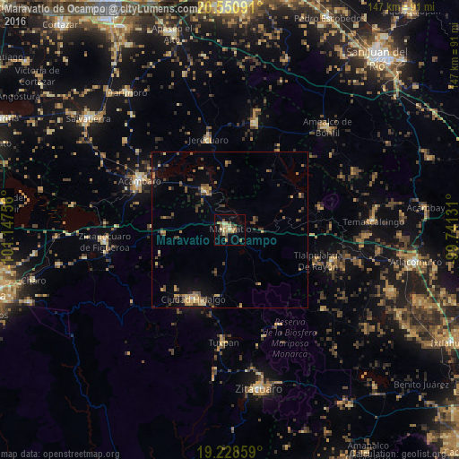
Analysis of Maravatío de Ocampo night lights 2016
Square area 10x10 km:
 0%
0%90-99
1.08%80-89
6.71%70-79
3.03%60-69
4.11%50-59
4.98%40-49
3.46%30-39
2.6%20-29
0.22%10-19
9.09%0-9
64.72%Square area 50x50 km:
0.03%90-99
0.11%80-89
0.93%70-79
0.8%60-69
0.78%50-59
0.97%40-49
1.39%30-39
1.02%20-29
0.85%10-19
2.25%0-9
90.85%Clear (daylight) street map image can be seen on geolist.org.
Map coordinates:
20° 33' 3.3" North, 101° 8' 51.2" West
19° 53' 28.1" North, 100° 26' 39.9" West
19° 13' 42.9" North, 99° 44' 28.7" West
Some cities around Maravatío de Ocampo sort by population:
• Ciudad Hidalgo
24.9 km =15.5 mi,  207°
207°
• Acámbaro
32.9 km =20.4 mi,  298°
298°
• Zinapécuaro
40.3 km =25 mi,  265°
265°
• Tuxpan
36 km =22.4 mi,  182°
182°
• Jerécuaro
30.1 km =18.7 mi,  347°
347°
• Amealco
45.5 km =28.3 mi,  43°
43°
• Tarandacuao
14.5 km =9 mi,  327°
327°
• El Oro de Hidalgo
34.2 km =21.3 mi,  106°
106°
3996626 (p: 34,381)
Sources (retrieved 2019-11-25):
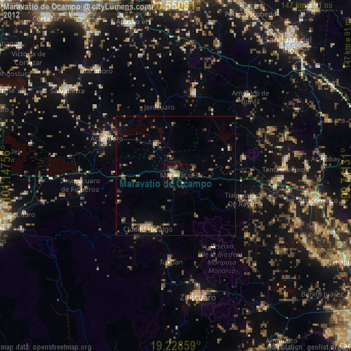
» Earth at Night: Flat Maps 2012, 2016