Ciudad Hidalgo night lights from space
Night Light of Ciudad Hidalgo (Michoacán) from space (Mexico) Src. Average luminocity for 10x10km area is 29.2252% and for 50x50km: 4.7665%.
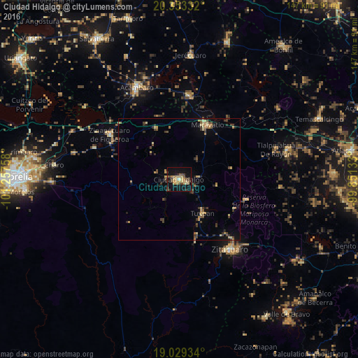
Analysis of Ciudad Hidalgo night lights 2016
Square area 10x10 km:
 0.21%
0.21%90-99
0.62%80-89
8.26%70-79
8.06%60-69
4.55%50-59
2.69%40-49
6.2%30-39
4.13%20-29
2.27%10-19
38.02%0-9
25%Square area 50x50 km:
0.01%90-99
0.1%80-89
1.07%70-79
0.88%60-69
0.59%50-59
0.5%40-49
1.31%30-39
1.15%20-29
0.8%10-19
2.68%0-9
90.91%Clear (daylight) street map image can be seen on geolist.org.
Map coordinates:
20° 21' 12" North, 101° 15' 27.3" West
19° 41' 33.7" North, 100° 33' 16" West
19° 1' 45.6" North, 99° 51' 4.8" West
Some cities around Ciudad Hidalgo sort by population:
• Heróica Zitácuaro
35.2 km =21.9 mi,  144°
144°
• Maravatío de Ocampo
24.9 km =15.5 mi,  27°
27°
• Zinapécuaro
34.2 km =21.3 mi,  302°
302°
• Tuxpan
16.9 km =10.5 mi,  145°
145°
• Queréndaro
37.5 km =23.3 mi,  290°
290°
• Rincón de Nicolás Romero (Cedros Tercera Manzana)
41.1 km =25.5 mi, 139°
• Tarandacuao
34.5 km =21.4 mi,  6°
6°
• Jungapeo de Juárez
26.7 km =16.6 mi,  166°
166°
4013712 (p: 60,542)
Sources (retrieved 2019-11-25):
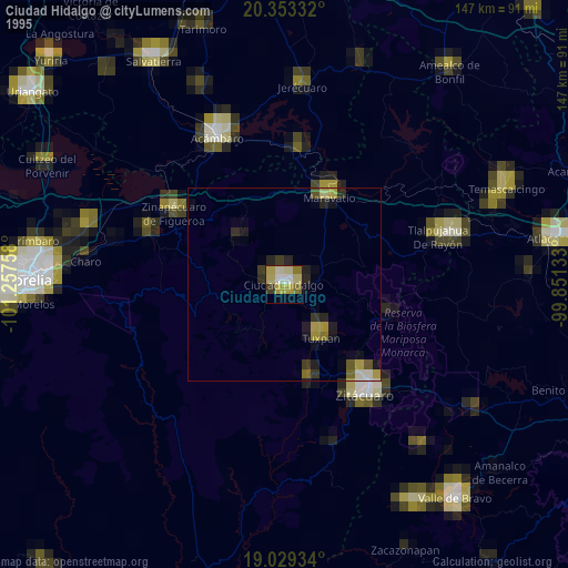
» NASA, Earths city lights 1995
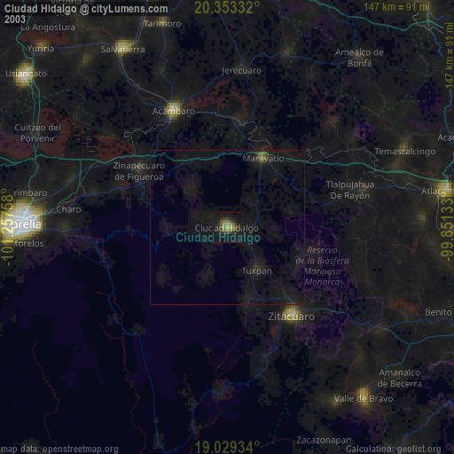
» NASA city lights 2003
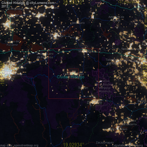
» Earth at Night: Flat Maps 2012, 2016