Los Mochis night lights from space
Night Light of Los Mochis (Sinaloa) from space (Mexico) Src. Average luminocity for 10x10km area is 77.3674% and for 50x50km: 8.714%.
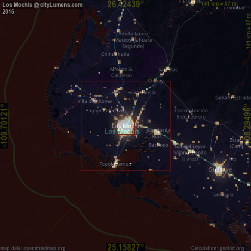
Analysis of Los Mochis night lights 2016
Square area 10x10 km:
 22.16%
90-99
23.48%80-89
17.61%70-79
10.23%60-69
2.46%50-59
2.46%40-49
4.73%30-39
4.55%20-29
11.74%10-19
0.57%0-9
0%Square area 50x50 km:
0.99%90-99
1.13%80-89
1.45%70-79
1.23%60-69
0.75%50-59
0.93%40-49
1.79%30-39
0.97%20-29
2.44%10-19
4.2%0-9
84.11%Clear (daylight) street map image can be seen on geolist.org.
Map coordinates:
26° 25' 27.8" North, 109° 42' 4.4" West
25° 47' 34.9" North, 108° 59' 53.1" West
25° 9' 29.8" North, 108° 17' 41.9" West
Some cities around Los Mochis sort by population:
• Juan José Ríos
17.8 km =11.1 mi,  102°
102°
• Adolfo Ruiz Cortines
29.6 km =18.4 mi,  109°
109°
• Adolfo Ruíz Cortínes
25.3 km =15.7 mi, 100°
• Ahome
22.5 km =14 mi,  308°
308°
• Constancia
21.2 km =13.2 mi,  27°
27°
• Topolobampo
22 km =13.7 mi,  194°
194°
• San Miguel Zapotitlan
18 km =11.2 mi,  344°
344°
• Mochicahui
18.8 km =11.7 mi,  21°
21°
3997479 (p: 256,613)
Sources (retrieved 2019-11-25):
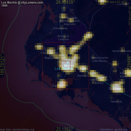
» NASA, Earths city lights 1995
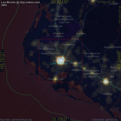
» NASA city lights 2003
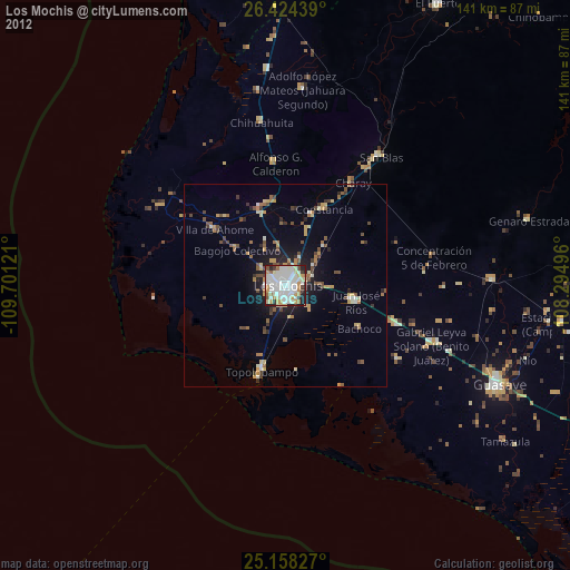
» Earth at Night: Flat Maps 2012, 2016