Loma Bonita night lights from space
Night Light of Loma Bonita (Oaxaca) from space (Mexico) Src. Average luminocity for 10x10km area is 15.8615% and for 50x50km: 3.0614%.
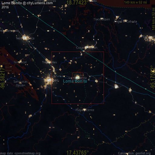
Analysis of Loma Bonita night lights 2016
Square area 10x10 km:
 0%
0%90-99
3.68%80-89
4.98%70-79
0.87%60-69
0%50-59
1.95%40-49
1.95%30-39
2.81%20-29
3.68%10-19
4.11%0-9
75.97%Square area 50x50 km:
0%90-99
0.24%80-89
0.4%70-79
0.36%60-69
0.41%50-59
0.43%40-49
0.79%30-39
0.79%20-29
0.97%10-19
1.56%0-9
94.04%Clear (daylight) street map image can be seen on geolist.org.
Map coordinates:
18° 46' 27.2" North, 96° 34' 55.8" West
18° 6' 26" North, 95° 52' 44.5" West
17° 26' 15.5" North, 95° 10' 33.3" West
Some cities around Loma Bonita sort by population:
• Tuxtepec
26.1 km =16.2 mi,  265°
265°
• Cosamaloapan
30.2 km =18.8 mi,  16°
16°
• Isla
38 km =23.6 mi,  103°
103°
• Carlos A. Carrillo
32.5 km =20.2 mi, 23°
• Tres Valles
30.8 km =19.1 mi,  298°
298°
• Playa Vicente
31.5 km =19.6 mi,  166°
166°
• Tesechoacan
23.6 km =14.7 mi,  81°
81°
• Villa Azueta
18 km =11.2 mi, 101°
3824996 (p: 31,485)
Sources (retrieved 2019-11-25):
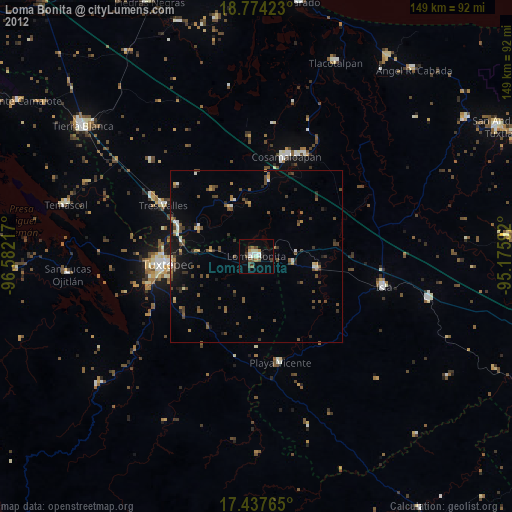
» Earth at Night: Flat Maps 2012, 2016