Isla night lights from space
Night Light of Isla (Veracruz) from space (Mexico) Src. Average luminocity for 10x10km area is 12.6991% and for 50x50km: 1.2679%.
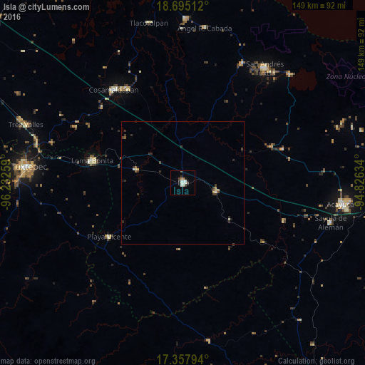
Analysis of Isla night lights 2016
Square area 10x10 km:
 0.43%
0.43%90-99
6.49%80-89
0%70-79
1.52%60-69
0.22%50-59
0.87%40-49
0.87%30-39
2.6%20-29
0.87%10-19
2.6%0-9
83.55%Square area 50x50 km:
0.02%90-99
0.34%80-89
0.07%70-79
0.19%60-69
0.04%50-59
0.15%40-49
0.23%30-39
0.45%20-29
0.31%10-19
0.22%0-9
97.98%Clear (daylight) street map image can be seen on geolist.org.
Map coordinates:
18° 41' 42.4" North, 96° 13' 57.3" West
18° 1' 40.1" North, 95° 31' 46.1" West
17° 21' 28.6" North, 94° 49' 34.8" West
Some cities around Isla sort by population:
• Loma Bonita
38 km =23.6 mi,  283°
283°
• Cosamaloapan
47.3 km =29.4 mi,  323°
323°
• Carlos A. Carrillo
45.3 km =28.1 mi,  328°
328°
• Juan Rodríguez Clara
14.1 km =8.8 mi,  105°
105°
• Playa Vicente
37 km =23 mi,  233°
233°
• Tesechoacan
18.3 km =11.4 mi,  311°
311°
• Villa Azueta
20 km =12.4 mi, 284°
• Juan Díaz Covarrubias
39.1 km =24.3 mi,  67°
67°
3825011 (p: 26,287)
Sources (retrieved 2019-11-25):
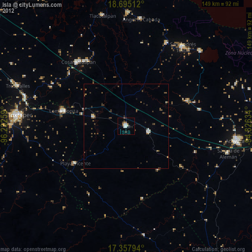
» Earth at Night: Flat Maps 2012, 2016