Uman night lights from space
Night Light of Uman (Yucatán) from space (Mexico) Src. Average luminocity for 10x10km area is 46.1429% and for 50x50km: 26.0279%.
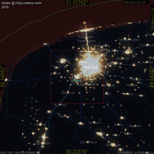
Analysis of Uman night lights 2016
Square area 10x10 km:
 4.37%
4.37%90-99
9.33%80-89
11.71%70-79
2.98%60-69
4.76%50-59
4.76%40-49
10.12%30-39
8.93%20-29
17.66%10-19
23.41%0-9
1.98%Square area 50x50 km:
6.74%90-99
5.58%80-89
5.37%70-79
1.76%60-69
2.31%50-59
2.84%40-49
3.49%30-39
2.41%20-29
3.38%10-19
6.36%0-9
59.78%Clear (daylight) street map image can be seen on geolist.org.
Map coordinates:
21° 32' 15.4" North, 90° 26' 58.6" West
20° 52' 55.7" North, 89° 44' 47.4" West
20° 13' 25.5" North, 89° 2' 36.1" West
Some cities around Uman sort by population:
• Mérida
17 km =10.6 mi,  52°
52°
• Kanasín
20.4 km =12.7 mi,  73°
73°
• Hunucmá
20.1 km =12.5 mi,  318°
318°
• Acanceh
31.5 km =19.6 mi,  104°
104°
• Caucel
15.5 km =9.6 mi,  16°
16°
• Kinchil
21.3 km =13.2 mi,  279°
279°
• Cholul
26.4 km =16.4 mi, 47°
• Itzincab Palomeque
6.3 km =3.9 mi, 52°
3514929 (p: 39,611)
Sources (retrieved 2019-11-25):
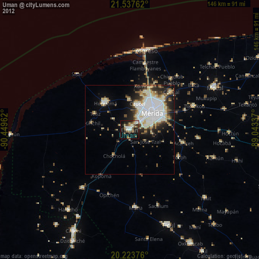
» Earth at Night: Flat Maps 2012, 2016