Jalostotitlán night lights from space
Night Light of Jalostotitlán (Jalisco) from space (Mexico) Src. Average luminocity for 10x10km area is 19.5933% and for 50x50km: 4.5726%.
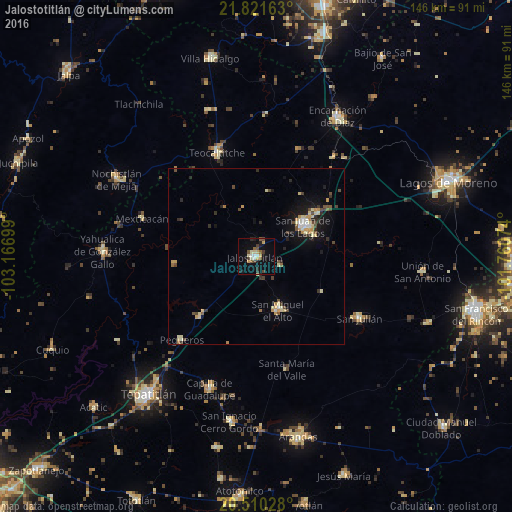
Analysis of Jalostotitlán night lights 2016
Square area 10x10 km:
 1.19%
1.19%90-99
3.37%80-89
4.17%70-79
1.59%60-69
0%50-59
3.57%40-49
2.98%30-39
3.37%20-29
1.79%10-19
13.29%0-9
64.68%Square area 50x50 km:
0.21%90-99
0.57%80-89
0.94%70-79
0.68%60-69
0.28%50-59
0.46%40-49
0.95%30-39
0.61%20-29
0.87%10-19
2.97%0-9
91.46%Clear (daylight) street map image can be seen on geolist.org.
Map coordinates:
21° 49' 17.9" North, 103° 10' 1.2" West
21° 10' 2.7" North, 102° 27' 49.9" West
20° 30' 37" North, 101° 45' 38.7" West
Some cities around Jalostotitlán sort by population:
• San Juan de los Lagos
16.5 km =10.3 mi,  56°
56°
• Encarnación de Díaz
46.2 km =28.7 mi,  30°
30°
• San Miguel el Alto
16.5 km =10.3 mi,  157°
157°
• Teocaltiche
31.8 km =19.8 mi,  338°
338°
• Nochistlán de Mejía
45.2 km =28.1 mi,  298°
298°
• Yahualica de González Gallo
43.8 km =27.2 mi,  271°
271°
• Capilla de Guadalupe
40.1 km =24.9 mi,  199°
199°
• San Julián
34.3 km =21.3 mi,  120°
120°
4004153 (p: 24,423)
Sources (retrieved 2019-11-25):
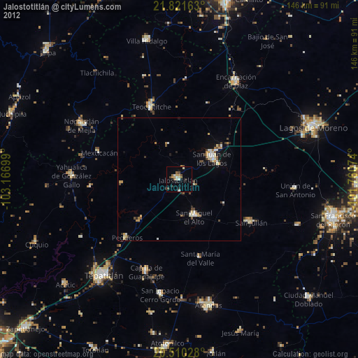
» Earth at Night: Flat Maps 2012, 2016