Jacona de Plancarte night lights from space
Night Light of Jacona de Plancarte (México) from space (Mexico) Src. Average luminocity for 10x10km area is 45.9502% and for 50x50km: 8.0013%.
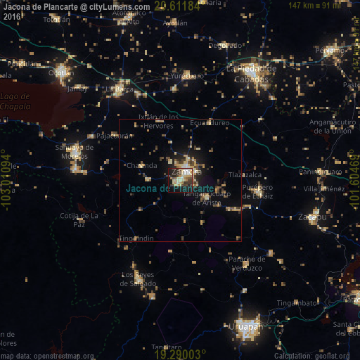
Analysis of Jacona de Plancarte night lights 2016
Square area 10x10 km:
 2.16%
2.16%90-99
9.96%80-89
13.64%70-79
7.36%60-69
3.46%50-59
1.95%40-49
8.44%30-39
8.87%20-29
11.26%10-19
28.14%0-9
4.76%Square area 50x50 km:
0.19%90-99
0.71%80-89
1.78%70-79
1.4%60-69
0.87%50-59
0.59%40-49
2.21%30-39
1.49%20-29
1.62%10-19
5.04%0-9
84.1%Clear (daylight) street map image can be seen on geolist.org.
Map coordinates:
20° 36' 42.6" North, 103° 0' 39.4" West
19° 57' 8.4" North, 102° 18' 28.1" West
19° 17' 24.1" North, 101° 36' 16.9" West
Some cities around Jacona de Plancarte sort by population:
• Zamora
4.5 km =2.8 mi,  34°
34°
• Tangancícuaro de Arista
12.8 km =8 mi,  124°
124°
• Santiago Tangamandapio
13.3 km =8.3 mi,  271°
271°
• Tarécuato
20.4 km =12.7 mi,  233°
233°
• Ario de Rayón
9.3 km =5.8 mi,  332°
332°
• Chilchota
23.1 km =14.4 mi, 120°
• Tingüindín
29.8 km =18.5 mi,  217°
217°
• Chavinda
17 km =10.6 mi,  290°
290°
4004198 (p: 56,934)
Sources (retrieved 2019-11-25):
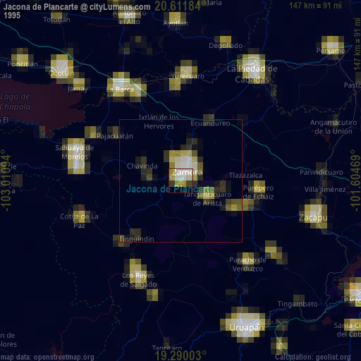
» NASA, Earths city lights 1995
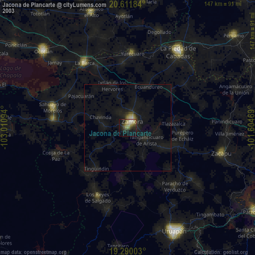
» NASA city lights 2003
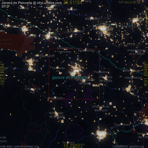
» Earth at Night: Flat Maps 2012, 2016