Irapuato night lights from space
Night Light of Irapuato (Guanajuato) from space (Mexico) Src. Average luminocity for 10x10km area is 85.7557% and for 50x50km: 30.0034%.
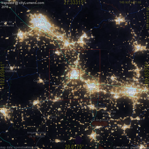
Analysis of Irapuato night lights 2016
Square area 10x10 km:
 32.95%
90-99
21.21%80-89
13.45%70-79
12.69%60-69
9.66%50-59
6.82%40-49
1.7%30-39
1.52%20-29
0%10-19
0%0-9
0%Square area 50x50 km:
2.5%90-99
2.94%80-89
5.8%70-79
4.73%60-69
3.96%50-59
3.94%40-49
7.35%30-39
6.98%20-29
9.82%10-19
18.4%0-9
33.58%Clear (daylight) street map image can be seen on geolist.org.
Map coordinates:
21° 19' 59.3" North, 102° 3' 33.9" West
20° 40' 36.3" North, 101° 21' 22.6" West
20° 1' 3" North, 100° 39' 11.4" West
Some cities around Irapuato sort by population:
• Salamanca
20.7 km =12.9 mi,  124°
124°
• Romita
27.3 km =17 mi,  322°
322°
• Arandas
5.6 km =3.5 mi,  341°
341°
• San José Temascatío
10.1 km =6.3 mi,  80°
80°
• La Aldea
28.1 km =17.5 mi,  333°
333°
• San Roque
8.7 km =5.4 mi,  170°
170°
• Cerro Gordo
25.6 km =15.9 mi,  111°
111°
• Villas de Irapuato
5.2 km =3.2 mi,  282°
282°
4004330 (p: 380,941)
Sources (retrieved 2019-11-25):
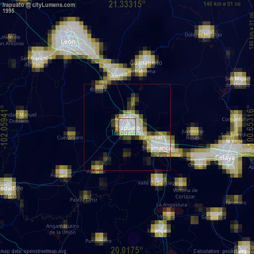
» NASA, Earths city lights 1995
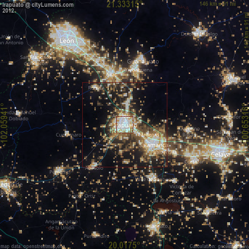
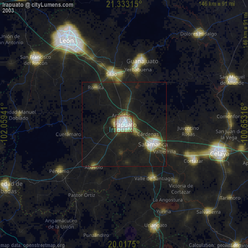
» NASA city lights 2003
» Earth at Night: Flat Maps 2012, 2016