Salamanca night lights from space
Night Light of Salamanca (Guanajuato) from space (Mexico) Src. Average luminocity for 10x10km area is 84.8617% and for 50x50km: 33.6114%.
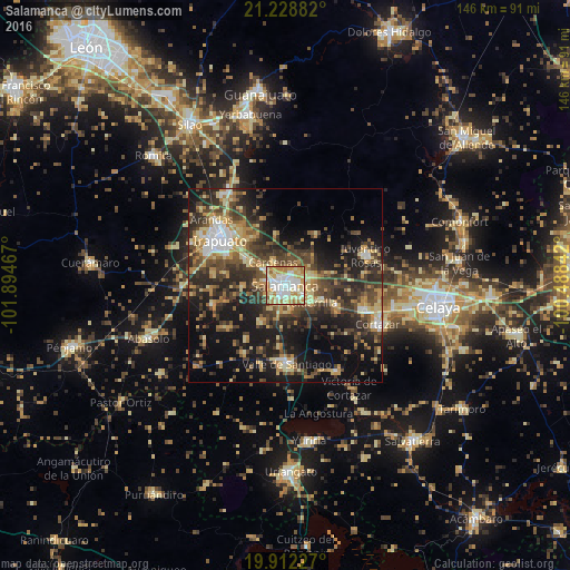
Analysis of Salamanca night lights 2016
Square area 10x10 km:
 19.89%
90-99
25.19%80-89
18.94%70-79
19.51%60-69
10.23%50-59
5.49%40-49
0.57%30-39
0.19%20-29
0%10-19
0%0-9
0%Square area 50x50 km:
2.86%90-99
3.22%80-89
6.36%70-79
5.52%60-69
4.57%50-59
4.33%40-49
8.68%30-39
8.52%20-29
10.37%10-19
18.12%0-9
27.45%Clear (daylight) street map image can be seen on geolist.org.
Map coordinates:
21° 13' 43.8" North, 101° 53' 40.8" West
20° 34' 19.1" North, 101° 11' 29.5" West
19° 54' 44.2" North, 100° 29' 18.3" West
Some cities around Salamanca sort by population:
• Irapuato
20.7 km =12.9 mi,  304°
304°
• Valle de Santiago
20.1 km =12.5 mi,  180°
180°
• Valtierrilla
8 km =5 mi,  123°
123°
• San José Temascatío
15.1 km =9.4 mi,  331°
331°
• Mexicanos
13.5 km =8.4 mi,  110°
110°
• San Roque
15.9 km =9.9 mi,  281°
281°
• Cerro Gordo
7.1 km =4.4 mi,  70°
70°
• Sarabia
14.6 km =9.1 mi, 112°
3988214 (p: 160,169)
Sources (retrieved 2019-11-25):
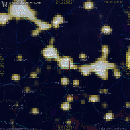
» NASA, Earths city lights 1995
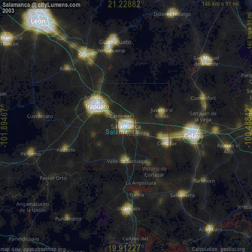
» NASA city lights 2003
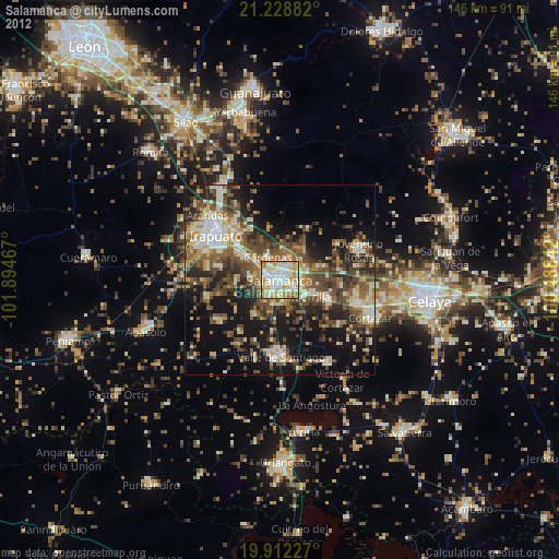
» Earth at Night: Flat Maps 2012, 2016