Huauchinango night lights from space
Night Light of Huauchinango (Puebla) from space (Mexico) Src. Average luminocity for 10x10km area is 37.4762% and for 50x50km: 9.6512%.
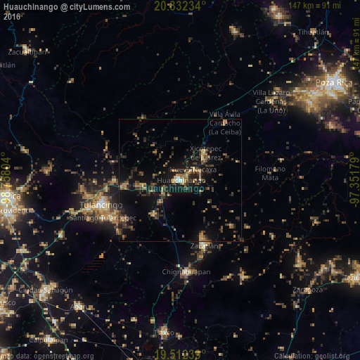
Analysis of Huauchinango night lights 2016
Square area 10x10 km:
 4.37%
4.37%90-99
4.37%80-89
4.17%70-79
4.96%60-69
10.32%50-59
4.37%40-49
4.17%30-39
5.56%20-29
8.73%10-19
47.62%0-9
1.39%Square area 50x50 km:
0.18%90-99
0.23%80-89
0.93%70-79
1.24%60-69
1.74%50-59
1.18%40-49
2.81%30-39
2.86%20-29
3.02%10-19
9.65%0-9
76.15%Clear (daylight) street map image can be seen on geolist.org.
Map coordinates:
20° 49' 56.4" North, 98° 45' 28.9" West
20° 10' 25.5" North, 98° 3' 17.7" West
19° 30' 44.6" North, 97° 21' 6.4" West
Some cities around Huauchinango sort by population:
• Xicotepec de Juárez
15 km =9.3 mi,  40°
40°
• Zacatlán
28.2 km =17.5 mi,  159°
159°
• Villa Avila Camacho
29.8 km =18.5 mi, 37°
• Necaxa
6.2 km =3.9 mi,  46°
46°
• Nuevo Necaxa
6.5 km =4 mi, 51°
• Tenango de las Flores
7.8 km =4.8 mi,  62°
62°
• Parque Urbano Napateco
30 km =18.6 mi,  263°
263°
• Santa Ana Hueytlalpan
26.8 km =16.7 mi,  270°
270°
3526992 (p: 56,206)
Sources (retrieved 2019-11-25):
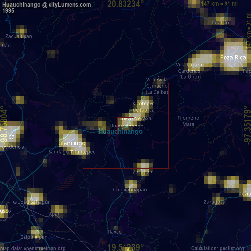
» NASA, Earths city lights 1995
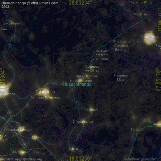
» NASA city lights 2003
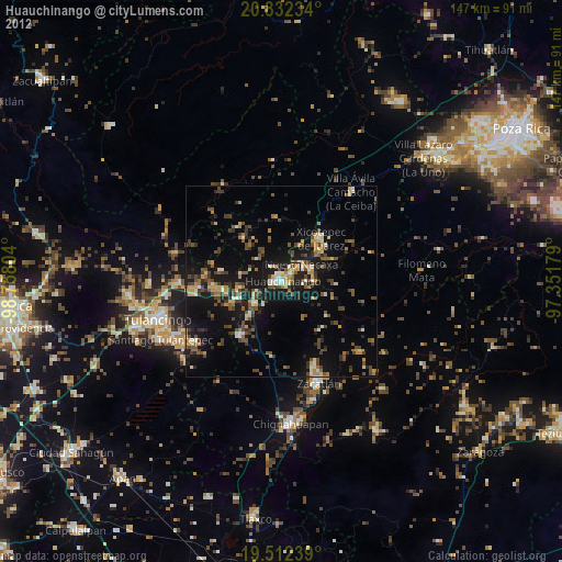
» Earth at Night: Flat Maps 2012, 2016