Xicotepec de Juárez night lights from space
Night Light of Xicotepec de Juárez (Puebla) from space (Mexico) Src. Average luminocity for 10x10km area is 18.3889% and for 50x50km: 6.5369%.
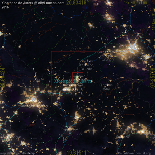
Analysis of Xicotepec de Juárez night lights 2016
Square area 10x10 km:
 0%
0%90-99
0.6%80-89
3.97%70-79
1.79%60-69
2.78%50-59
1.59%40-49
6.94%30-39
6.35%20-29
0.99%10-19
18.06%0-9
56.94%Square area 50x50 km:
0.17%90-99
0.23%80-89
0.72%70-79
0.78%60-69
1.15%50-59
0.74%40-49
1.97%30-39
1.91%20-29
1.81%10-19
6.6%0-9
83.92%Clear (daylight) street map image can be seen on geolist.org.
Map coordinates:
20° 56' 3.1" North, 98° 39' 51.3" West
20° 16' 33.8" North, 97° 57' 40" West
19° 36' 54.4" North, 97° 15' 28.8" West
Some cities around Xicotepec de Juárez sort by population:
• Huauchinango
15 km =9.3 mi,  220°
220°
• Filomeno Mata
28.1 km =17.5 mi,  107°
107°
• Villa Avila Camacho
14.9 km =9.3 mi,  34°
34°
• Coyutla
31.8 km =19.8 mi,  95°
95°
• Necaxa
8.8 km =5.5 mi, 216°
• Nuevo Necaxa
8.7 km =5.4 mi,  213°
213°
• Tenango de las Flores
8.3 km =5.2 mi,  199°
199°
• Mecatlán
30 km =18.6 mi, 104°
3514510 (p: 39,803)
Sources (retrieved 2019-11-25):
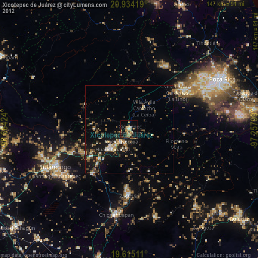
» Earth at Night: Flat Maps 2012, 2016