Hopelchén night lights from space
Night Light of Hopelchén (Campeche) from space (Mexico) Src. Average luminocity for 10x10km area is 6.3306% and for 50x50km: 0.5746%.
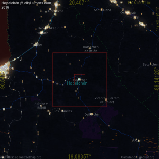
Analysis of Hopelchén night lights 2016
Square area 10x10 km:
 0%
0%90-99
3.31%80-89
0%70-79
1.03%60-69
1.45%50-59
0%40-49
0.83%30-39
0%20-29
0%10-19
0.83%0-9
92.56%Square area 50x50 km:
0%90-99
0.16%80-89
0.06%70-79
0.04%60-69
0.15%50-59
0.09%40-49
0.11%30-39
0.1%20-29
0.03%10-19
0.13%0-9
99.12%Clear (daylight) street map image can be seen on geolist.org.
Map coordinates:
20° 24' 25.6" North, 90° 32' 51" West
19° 44' 48.2" North, 89° 50' 39.7" West
19° 5' 0.9" North, 89° 8' 28.5" West
Some cities around Hopelchén sort by population:
• Campeche
72.1 km =44.8 mi,  278°
278°
• Oxkutzkab
76.6 km =47.6 mi,  35°
35°
• Calkiní
72.5 km =45 mi,  342°
342°
• Dzitbalché
67.3 km =41.8 mi, 340°
• Hecelchakán
56.6 km =35.2 mi,  327°
327°
• Pomuch
55.5 km =34.5 mi,  321°
321°
• Tenabo
51.5 km =32 mi,  309°
309°
• Chiná
68.2 km =42.4 mi,  272°
272°
3527065 (p: 7,295)
Sources (retrieved 2019-11-25):
» Earth at Night: Flat Maps 2012, 2016