Oxkutzkab night lights from space
Night Light of Oxkutzkab (Yucatán) from space (Mexico) Src. Average luminocity for 10x10km area is 17.506% and for 50x50km: 4.0815%.
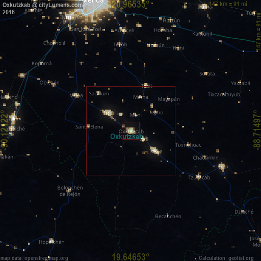
Analysis of Oxkutzkab night lights 2016
Square area 10x10 km:
 0%
0%90-99
3.97%80-89
3.17%70-79
1.59%60-69
2.38%50-59
2.18%40-49
3.57%30-39
2.78%20-29
0.2%10-19
4.96%0-9
75.2%Square area 50x50 km:
0.06%90-99
0.62%80-89
1.04%70-79
0.43%60-69
0.35%50-59
0.46%40-49
0.71%30-39
0.57%20-29
0.48%10-19
1.37%0-9
93.91%Clear (daylight) street map image can be seen on geolist.org.
Map coordinates:
20° 57' 55.3" North, 90° 7' 16.4" West
20° 18' 26.4" North, 89° 25' 5.1" West
19° 38' 47.5" North, 88° 42' 53.9" West
Some cities around Oxkutzkab sort by population:
• Ticul
15.9 km =9.9 mi,  309°
309°
• Tecax
17.9 km =11.1 mi,  129°
129°
• Muna
36.8 km =22.9 mi,  303°
303°
• Akil
8.7 km =5.4 mi,  122°
122°
• Tzucacab
46.4 km =28.8 mi, 124°
• Tekit
26.8 km =16.7 mi,  19°
19°
• Tekoh
48.9 km =30.4 mi,  353°
353°
• Teabo
17.5 km =10.9 mi,  53°
53°
3522251 (p: 23,096)
Sources (retrieved 2019-11-25):
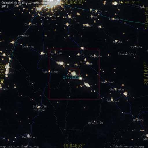
» Earth at Night: Flat Maps 2012, 2016