Hermosillo night lights from space
Night Light of Hermosillo (Sonora) from space (Mexico) Src. Average luminocity for 10x10km area is 95.3929% and for 50x50km: 14.1397%.
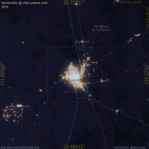
Analysis of Hermosillo night lights 2016
Square area 10x10 km:
 59.33%
90-99
26.19%80-89
2.58%70-79
5.95%60-69
3.57%50-59
2.18%40-49
0.2%30-39
0%20-29
0%10-19
0%0-9
0%Square area 50x50 km:
3.51%90-99
2.32%80-89
1.76%70-79
2.38%60-69
1.05%50-59
1.07%40-49
1.87%30-39
1.83%20-29
3.69%10-19
6.23%0-9
74.28%Clear (daylight) street map image can be seen on geolist.org.
Map coordinates:
29° 42' 54.4" North, 111° 40' 49.6" West
29° 6' 9.4" North, 110° 58' 38.4" West
28° 29' 11.1" North, 110° 16' 27.1" West
Some cities around Hermosillo sort by population:
• Heroica Guaymas
131.8 km =81.9 mi,  176°
176°
• Empalme
127.9 km =79.5 mi,  172°
172°
• Miguel Alemán (La Doce)
56.7 km =35.2 mi,  239°
239°
• Magdalena de Kino
169.6 km =105.4 mi,  0°
0°
• Santa Ana
160.5 km =99.7 mi,  355°
355°
• Bahía de Kino
98.8 km =61.4 mi,  251°
251°
• Pesqueira
31.8 km =19.8 mi,  14°
14°
• Benjamín Hill
119.3 km =74.1 mi,  353°
353°
4004898 (p: 715,061)
Sources (retrieved 2019-11-25):
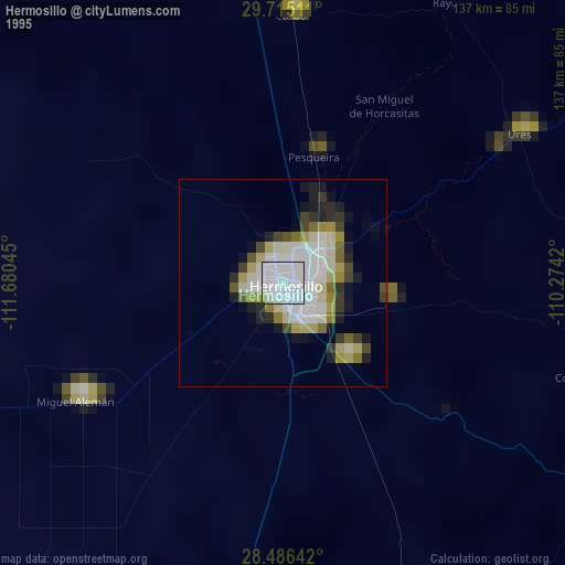
» NASA, Earths city lights 1995
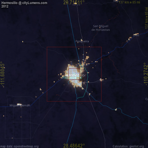
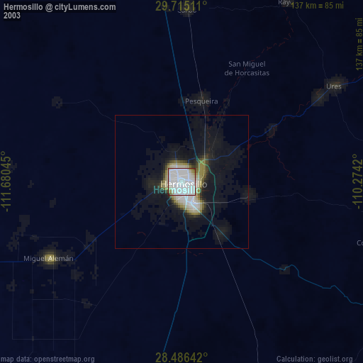
» NASA city lights 2003
» Earth at Night: Flat Maps 2012, 2016