Guasave night lights from space
Night Light of Guasave (Sinaloa) from space (Mexico) Src. Average luminocity for 10x10km area is 38.072% and for 50x50km: 4.6374%.
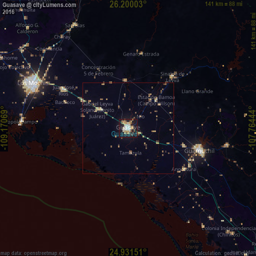
Analysis of Guasave night lights 2016
Square area 10x10 km:
 5.68%
5.68%90-99
7.95%80-89
4.55%70-79
7.58%60-69
2.27%50-59
2.27%40-49
7.58%30-39
3.03%20-29
4.17%10-19
47.92%0-9
7.01%Square area 50x50 km:
0.23%90-99
0.39%80-89
0.7%70-79
0.93%60-69
0.34%50-59
0.81%40-49
1.03%30-39
0.61%20-29
0.75%10-19
2.61%0-9
91.6%Clear (daylight) street map image can be seen on geolist.org.
Map coordinates:
26° 12' 0.1" North, 109° 10' 14.5" West
25° 34' 2.8" North, 108° 28' 3.2" West
24° 55' 53.4" North, 107° 45' 52" West
Some cities around Guasave sort by population:
• Guamúchil
41 km =25.5 mi,  107°
107°
• Leyva Solano
20 km =12.4 mi,  301°
301°
• Adolfo Ruiz Cortines
29.4 km =18.3 mi, 300°
• Adolfo Ruíz Cortínes
34.8 km =21.6 mi,  305°
305°
• Estacion Bamoa
22 km =13.7 mi,  44°
44°
• Naranjo
26.6 km =16.5 mi,  357°
357°
• Sinaloa de Leyva
37.5 km =23.3 mi, 40°
• Angostura
38.1 km =23.7 mi,  126°
126°
4005219 (p: 71,196)
Sources (retrieved 2019-11-25):
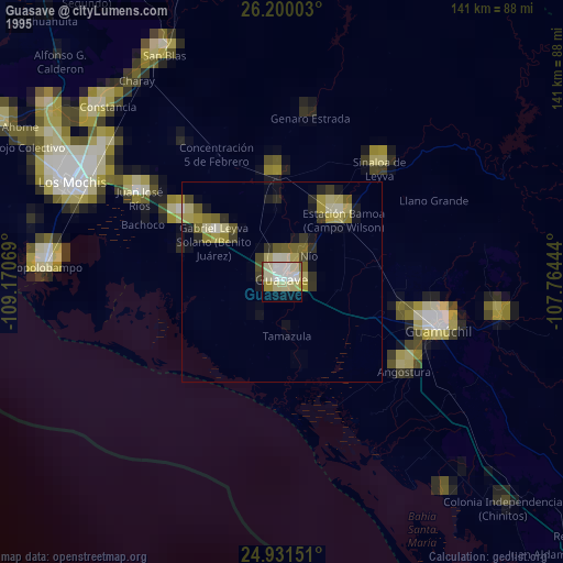
» NASA, Earths city lights 1995
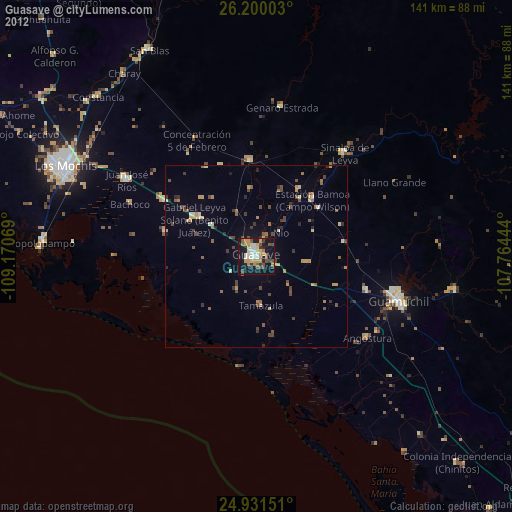
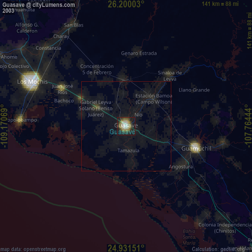
» NASA city lights 2003
» Earth at Night: Flat Maps 2012, 2016