Guanajuato night lights from space
Night Light of Guanajuato from space (Mexico) Src. Average luminocity for 10x10km area is 44.3214% and for 50x50km: 15.0091%.
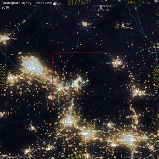
Analysis of Guanajuato night lights 2016
Square area 10x10 km:
 5.95%
5.95%90-99
11.31%80-89
5.56%70-79
6.15%60-69
4.17%50-59
3.77%40-49
7.74%30-39
7.14%20-29
14.29%10-19
28.97%0-9
4.96%Square area 50x50 km:
1.03%90-99
1.7%80-89
2.35%70-79
2.47%60-69
1.95%50-59
1.97%40-49
4.07%30-39
2.97%20-29
6.33%10-19
8.82%0-9
66.32%Clear (daylight) street map image can be seen on geolist.org.
Map coordinates:
21° 40' 24.5" North, 101° 57' 44" West
21° 1' 6.9" North, 101° 15' 32.8" West
20° 21' 38.9" North, 100° 33' 21.5" West
Some cities around Guanajuato sort by population:
• Silao
19.3 km =12 mi,  244°
244°
• Marfil
4 km =2.5 mi,  221°
221°
• Romita
31.4 km =19.5 mi, 238°
• Yerbabuena
6.4 km =4 mi,  194°
194°
• Arandas
34.8 km =21.6 mi,  199°
199°
• Santa Teresa
8.8 km =5.5 mi, 222°
• Duarte
28.6 km =17.8 mi,  285°
285°
• La Aldea
26.2 km =16.3 mi, 240°
4005270 (p: 72,237)
Sources (retrieved 2019-11-25):
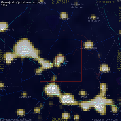
» NASA, Earths city lights 1995
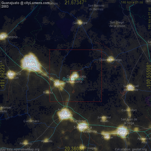
» NASA city lights 2003
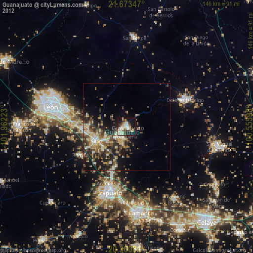
» Earth at Night: Flat Maps 2012, 2016