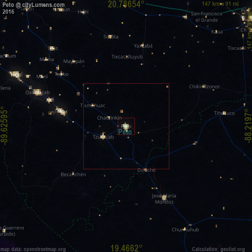
Peto night lights from space
Night Light of Peto (Yucatán) from space (Mexico) Src. Average luminocity for 10x10km area is 12.9623% and for 50x50km: 1.3192%.
Analysis of Peto night lights 2016
Square area 10x10 km:
 0%
0%90-99
1.59%80-89
4.76%70-79
0.79%60-69
1.59%50-59
3.17%40-49
0.4%30-39
1.19%20-29
1.59%10-19
0%0-9
84.92%Square area 50x50 km:
0.01%90-99
0.09%80-89
0.44%70-79
0.12%60-69
0.21%50-59
0.19%40-49
0.25%30-39
0.18%20-29
0.16%10-19
0.23%0-9
98.12%Clear (daylight) street map image can be seen on geolist.org.
Map coordinates:
20° 47' 11.5" North, 89° 37' 33.4" West
20° 7' 39.9" North, 88° 55' 22.2" West
19° 27' 58.3" North, 88° 13' 10.9" West
Some cities around Peto sort by population:
• Tecax
38.8 km =24.1 mi,  282°
282°
• Oxkutzkab
55.4 km =34.4 mi,  291°
291°
• José María Morelos
47.7 km =29.6 mi,  152°
152°
• Akil
46.9 km =29.1 mi, 289°
• Tzucacab
14.7 km =9.1 mi,  245°
245°
• Tekit
62.3 km =38.7 mi,  316°
316°
• Teabo
48.3 km =30 mi,  308°
308°
• Sotuta
52.9 km =32.9 mi,  350°
350°
3521596 (p: 19,821)
Sources (retrieved 2019-11-25):
» Earth at Night: Flat Maps 2012, 2016