Escárcega night lights from space
Night Light of Escárcega (Campeche) from space (Mexico) Src. Average luminocity for 10x10km area is 25.6756% and for 50x50km: 1.9567%.
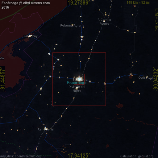
Analysis of Escárcega night lights 2016
Square area 10x10 km:
 3.93%
3.93%90-99
8.26%80-89
1.86%70-79
0%60-69
1.65%50-59
3.31%40-49
4.75%30-39
1.65%20-29
2.27%10-19
24.79%0-9
47.52%Square area 50x50 km:
0.15%90-99
0.45%80-89
0.36%70-79
0.06%60-69
0.1%50-59
0.26%40-49
0.45%30-39
0.28%20-29
0.21%10-19
1.05%0-9
96.63%Clear (daylight) street map image can be seen on geolist.org.
Map coordinates:
19° 16' 26.3" North, 91° 26' 54.9" West
18° 36' 32.1" North, 90° 44' 43.6" West
17° 56' 28.5" North, 90° 2' 32.4" West
Some cities around Escárcega sort by population:
• Ciudad del Carmen
114.3 km =71 mi,  272°
272°
• Champotón
82.2 km =51.1 mi,  1°
1°
• Balancán
122.1 km =75.9 mi,  223°
223°
• Candelaria
56.7 km =35.2 mi,  213°
213°
• Seybaplaya
114.8 km =71.3 mi, 3°
• Sabancuy
60.9 km =37.8 mi,  311°
311°
• Isla Aguada
81.2 km =50.5 mi,  284°
284°
• El Triunfo
88.5 km =55 mi, 210°
3527795 (p: 29,477)
Sources (retrieved 2019-11-25):
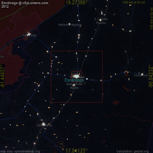
» Earth at Night: Flat Maps 2012, 2016