Coyula night lights from space
Night Light of Coyula (Jalisco) from space (Mexico) Src. Average luminocity for 10x10km area is 75.1136% and for 50x50km: 46.1052%.
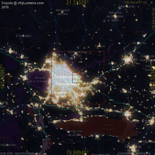
Analysis of Coyula night lights 2016
Square area 10x10 km:
 22.92%
90-99
20.27%80-89
14.2%70-79
9.66%60-69
2.46%50-59
5.49%40-49
9.47%30-39
8.33%20-29
5.49%10-19
1.7%0-9
0%Square area 50x50 km:
15.68%90-99
9.2%80-89
7.72%70-79
5.87%60-69
3.68%50-59
3.79%40-49
4.47%30-39
3.65%20-29
4.87%10-19
7.62%0-9
33.44%Clear (daylight) street map image can be seen on geolist.org.
Map coordinates:
21° 18' 55" North, 103° 55' 46.8" West
20° 39' 31.7" North, 103° 13' 35.5" West
19° 59' 58.2" North, 102° 31' 24.3" West
Some cities around Coyula sort by population:
• Tlaquepaque
7.2 km =4.5 mi,  254°
254°
• Tonalá
3.9 km =2.4 mi,  191°
191°
• Las Pintitas
13.1 km =8.1 mi,  216°
216°
• Las Pintas de Arriba
13.8 km =8.6 mi,  226°
226°
• El Quince
14.1 km =8.8 mi,  205°
205°
• Centro de Readaptación Social
12.1 km =7.5 mi,  163°
163°
• El Verde
12.7 km =7.9 mi, 205°
• Puente Grande
12.5 km =7.8 mi,  142°
142°
4012605 (p: 29,674)
Sources (retrieved 2019-11-25):
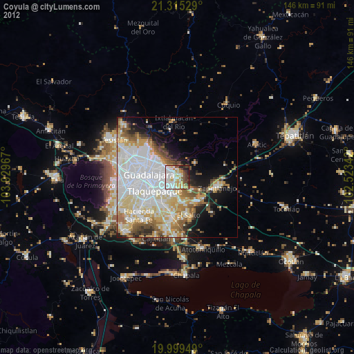
» Earth at Night: Flat Maps 2012, 2016