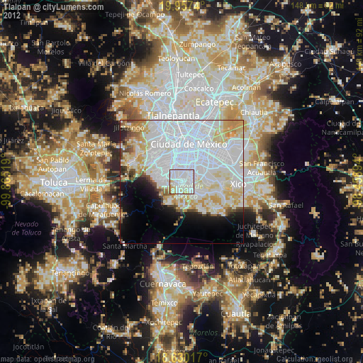
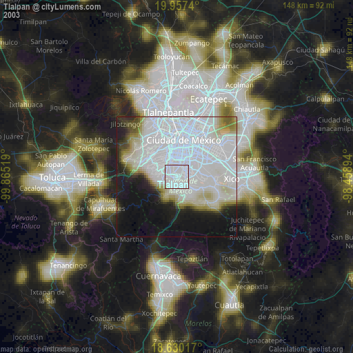
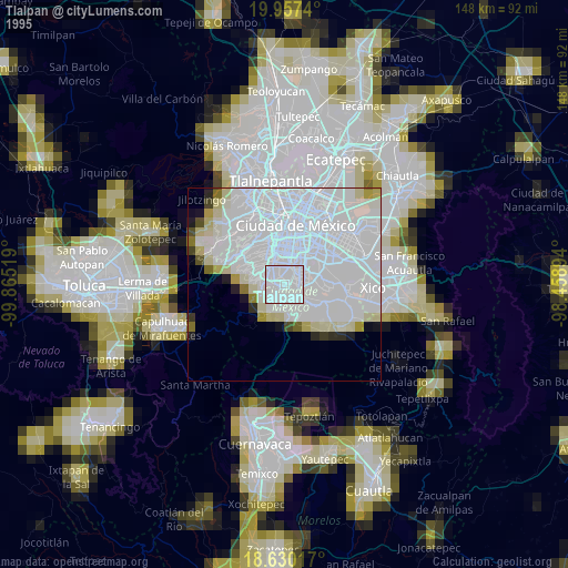
Tlalpan night lights from space
Night Light of Tlalpan (Mexico City) from space (Mexico) Src. Average luminocity for 10x10km area is 98.3312% and for 50x50km: 61.6848%.
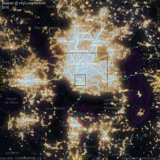
Analysis of Tlalpan night lights 2016
Square area 10x10 km:
 77.27%
90-99
15.15%80-89
6.06%70-79
1.3%60-69
0.22%50-59
0%40-49
0%30-39
0%20-29
0%10-19
0%0-9
0%Square area 50x50 km:
33.45%90-99
9.75%80-89
7.27%70-79
6.17%60-69
4.31%50-59
2.35%40-49
2.31%30-39
1.97%20-29
3.8%10-19
6.01%0-9
22.61%Clear (daylight) street map image can be seen on geolist.org.
Map coordinates:
19° 57' 26.6" North, 99° 51' 54.7" West
19° 17' 42.5" North, 99° 9' 43.4" West
18° 37' 48.6" North, 98° 27' 32.2" West
Some cities around Tlalpan sort by population:
• Álvaro Obregón
8.3 km =5.2 mi,  328°
328°
• Coyoacán
5.7 km =3.5 mi,  0°
0°
• Xochimilco
7.6 km =4.7 mi,  126°
126°
• Benito Juárez
8.6 km =5.3 mi, 3°
• Colonia del Valle
10.1 km =6.3 mi, 0°
• Magdalena Contreras
6.6 km =4.1 mi,  308°
308°
• Colonia Nativitas
9.9 km =6.2 mi,  15°
15°
• San Miguel Ajusco
9.2 km =5.7 mi,  207°
207°
3515428 (p: 574,577)
Sources (retrieved 2019-11-25):
» NASA, Earths city lights 1995
» NASA city lights 2003
» Earth at Night: Flat Maps 2012, 2016