Coatzintla night lights from space
Night Light of Coatzintla (Veracruz) from space (Mexico) Src. Average luminocity for 10x10km area is 69.017% and for 50x50km: 16.8184%.
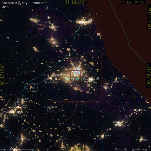
Analysis of Coatzintla night lights 2016
Square area 10x10 km:
 11.93%
90-99
13.26%80-89
15.91%70-79
8.9%60-69
13.45%50-59
10.42%40-49
12.88%30-39
6.63%20-29
4.55%10-19
2.08%0-9
0%Square area 50x50 km:
0.85%90-99
1.6%80-89
2.43%70-79
1.76%60-69
2.9%50-59
2.69%40-49
4.71%30-39
4.61%20-29
5.6%10-19
10.42%0-9
62.44%Clear (daylight) street map image can be seen on geolist.org.
Map coordinates:
21° 8' 39.2" North, 98° 10' 16.9" West
20° 29' 13.2" North, 97° 28' 5.6" West
19° 49' 36.9" North, 96° 45' 54.4" West
Some cities around Coatzintla sort by population:
• Poza Rica de Hidalgo
5.2 km =3.2 mi,  10°
10°
• Papantla de Olarte
15.6 km =9.7 mi,  106°
106°
• Tihuatlan
26.2 km =16.3 mi,  345°
345°
• Villa Lázaro Cárdenas
24.3 km =15.1 mi,  263°
263°
• Plan de Ayala
6.9 km =4.3 mi,  357°
357°
• Totolapa
7.9 km =4.9 mi, 353°
• Venustiano Carranza
20.9 km =13 mi,  276°
276°
• Agua Dulce
22.8 km =14.2 mi,  126°
126°
3530513 (p: 34,036)
Sources (retrieved 2019-11-25):
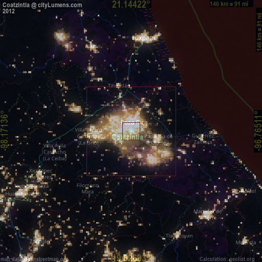
» Earth at Night: Flat Maps 2012, 2016