Ciudad Apodaca night lights from space
Night Light of Ciudad Apodaca (Nuevo León) from space (Mexico) Src. Average luminocity for 10x10km area is 91.3182% and for 50x50km: 53.0573%.
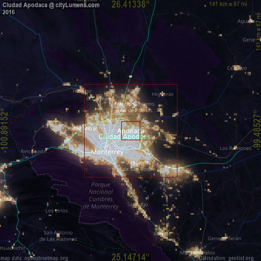
Analysis of Ciudad Apodaca night lights 2016
Square area 10x10 km:
 35.04%
90-99
35.61%80-89
10.8%70-79
8.33%60-69
7.39%50-59
2.84%40-49
0%30-39
0%20-29
0%10-19
0%0-9
0%Square area 50x50 km:
15.37%90-99
10.69%80-89
5.96%70-79
7.31%60-69
8.23%50-59
6.54%40-49
5.46%30-39
5%20-29
6.98%10-19
10.89%0-9
17.58%Clear (daylight) street map image can be seen on geolist.org.
Map coordinates:
26° 24' 48.2" North, 100° 53' 29.5" West
25° 46' 55" North, 100° 11' 18.2" West
25° 8' 49.7" North, 99° 29' 7" West
Some cities around Ciudad Apodaca sort by population:
• Guadalupe
13.5 km =8.4 mi,  210°
210°
• San Nicolás de los Garza
12.2 km =7.6 mi,  248°
248°
• Fraccionamiento Real Palmas
13.9 km =8.6 mi,  11°
11°
• Santa Rosa
5.8 km =3.6 mi,  324°
324°
• Prados de Santa Rosa
4.2 km =2.6 mi,  294°
294°
• Misión San Pablo
6.4 km =4 mi,  136°
136°
• Loma la Paz
9.5 km =5.9 mi,  145°
145°
• Pesquería
13.8 km =8.6 mi,  88°
88°
4018390 (p: 467,157)
Sources (retrieved 2019-11-25):
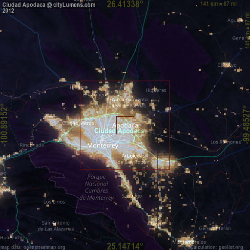
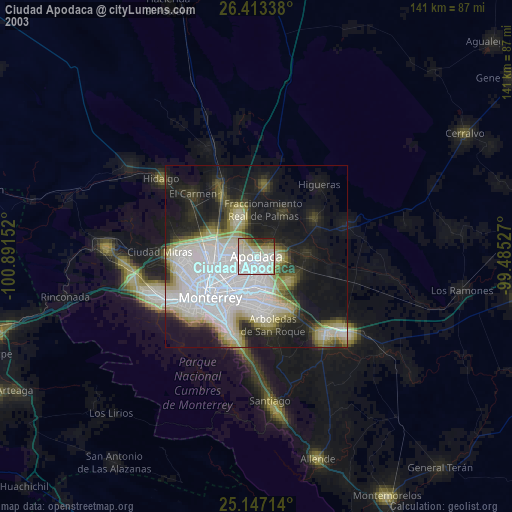
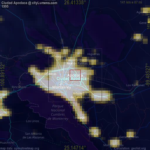
» NASA, Earths city lights 1995
» NASA city lights 2003
» Earth at Night: Flat Maps 2012, 2016