Champotón night lights from space
Night Light of Champotón (Campeche) from space (Mexico) Src. Average luminocity for 10x10km area is 21.4545% and for 50x50km: 1.5445%.
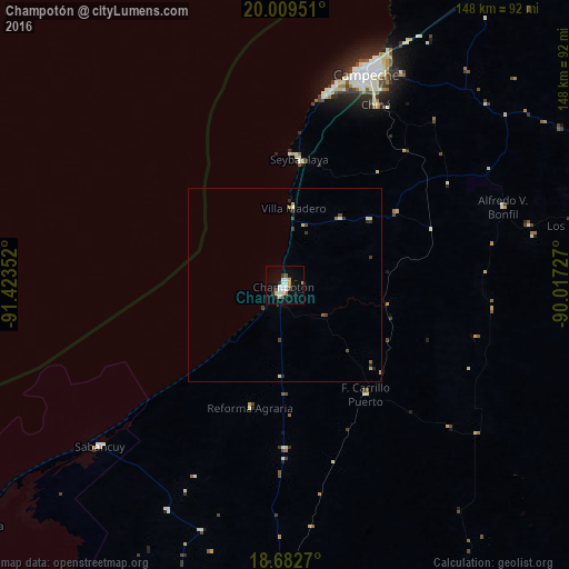
Analysis of Champotón night lights 2016
Square area 10x10 km:
 4.96%
4.96%90-99
5.17%80-89
1.65%70-79
2.07%60-69
1.45%50-59
1.65%40-49
0%30-39
3.31%20-29
1.65%10-19
12.19%0-9
65.91%Square area 50x50 km:
0.19%90-99
0.35%80-89
0.12%70-79
0.19%60-69
0.11%50-59
0.13%40-49
0.15%30-39
0.37%20-29
0.26%10-19
0.5%0-9
97.63%Clear (daylight) street map image can be seen on geolist.org.
Map coordinates:
20° 0' 34.2" North, 91° 25' 24.7" West
19° 20' 50.8" North, 90° 43' 13.4" West
18° 40' 57.7" North, 90° 1' 2.2" West
Some cities around Champotón sort by population:
• Campeche
58.8 km =36.5 mi,  20°
20°
• Escárcega
82.2 km =51.1 mi,  181°
181°
• Seybaplaya
32.7 km =20.3 mi,  6°
6°
• Lerma
52.3 km =32.5 mi, 13°
• Tenabo
92.8 km =57.7 mi,  33°
33°
• Hopelchén
102 km =63.4 mi,  64°
64°
• Sabancuy
63.6 km =39.5 mi,  229°
229°
• Chiná
52.5 km =32.6 mi, 26°
3531177 (p: 30,881)
Sources (retrieved 2019-11-25):
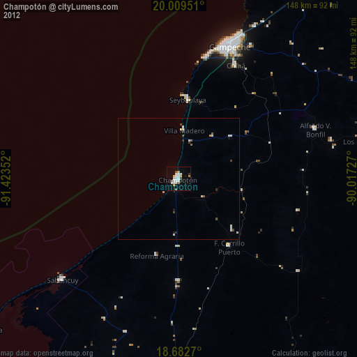
» Earth at Night: Flat Maps 2012, 2016