Sabancuy night lights from space
Night Light of Sabancuy (Campeche) from space (Mexico) Src. Average luminocity for 10x10km area is 5.7403% and for 50x50km: 0.4659%.
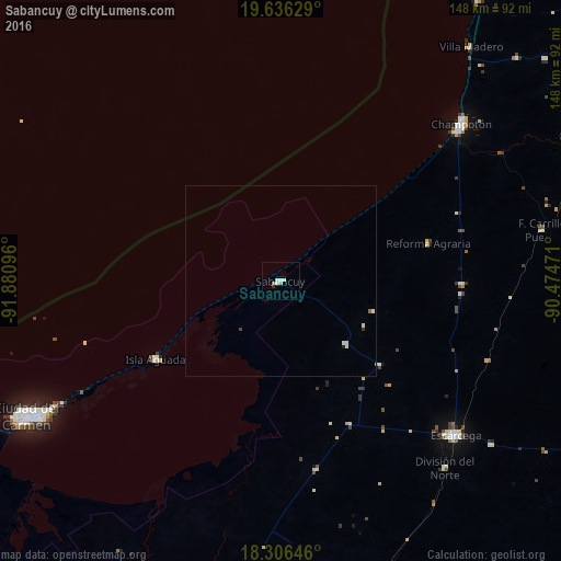
Analysis of Sabancuy night lights 2016
Square area 10x10 km:
 0.65%
0.65%90-99
2.81%80-89
0%70-79
0.87%60-69
0.87%50-59
0%40-49
0%30-39
0.87%20-29
0%10-19
0%0-9
93.94%Square area 50x50 km:
0.02%90-99
0.24%80-89
0.03%70-79
0.03%60-69
0.07%50-59
0%40-49
0.02%30-39
0.07%20-29
0.02%10-19
0.02%0-9
99.48%Clear (daylight) street map image can be seen on geolist.org.
Map coordinates:
19° 38' 10.6" North, 91° 52' 51.5" West
18° 58' 21.7" North, 91° 10' 40.2" West
18° 18' 23.3" North, 90° 28' 29" West
Some cities around Sabancuy sort by population:
• Ciudad del Carmen
77.7 km =48.3 mi,  242°
242°
• Champotón
63.6 km =39.5 mi,  49°
49°
• Escárcega
60.9 km =37.8 mi,  131°
131°
• Candelaria
88.6 km =55.1 mi,  170°
170°
• Seybaplaya
90.3 km =56.1 mi,  34°
34°
• Lerma
110.5 km =68.7 mi, 33°
• Isla Aguada
39 km =24.2 mi, 238°
• Chiná
113.9 km =70.8 mi,  38°
38°
3520161 (p: 7,286)
Sources (retrieved 2019-11-25):
» Earth at Night: Flat Maps 2012, 2016