Capulhuac de Mirafuentes night lights from space
Night Light of Capulhuac de Mirafuentes (México) from space (Mexico) Src. Average luminocity for 10x10km area is 63.6667% and for 50x50km: 44.4138%.
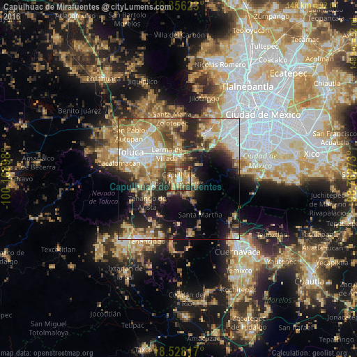
Analysis of Capulhuac de Mirafuentes night lights 2016
Square area 10x10 km:
 3.25%
3.25%90-99
7.14%80-89
17.53%70-79
17.32%60-69
15.37%50-59
7.14%40-49
11.69%30-39
15.37%20-29
5.19%10-19
0%0-9
0%Square area 50x50 km:
8.02%90-99
6%80-89
8.02%70-79
8.5%60-69
9.12%50-59
4.93%40-49
5.71%30-39
5.19%20-29
8.8%10-19
11.6%0-9
24.12%Clear (daylight) street map image can be seen on geolist.org.
Map coordinates:
19° 51' 22.4" North, 100° 10' 8.3" West
19° 11' 36.7" North, 99° 27' 57.1" West
18° 31' 41.4" North, 98° 45' 45.8" West
Some cities around Capulhuac de Mirafuentes sort by population:
• Xalatlaco
5.1 km =3.2 mi,  103°
103°
• Santiago Tianguistenco de Galeana
1.5 km =0.9 mi,  182°
182°
• San Pedro Tlaltizapan
3.6 km =2.2 mi,  281°
281°
• Santiago Tílapa
4.7 km =2.9 mi, 95°
• Almoloya del Río
4.3 km =2.7 mi,  211°
211°
• San Pedro Chochula
8.1 km =5 mi,  344°
344°
• Santa Cruz Atizapán
3 km =1.9 mi,  232°
232°
• San Nicolás Coatepec
7.3 km =4.5 mi,  148°
148°
3531598 (p: 20,757)
Sources (retrieved 2019-11-25):
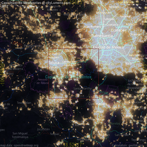
» Earth at Night: Flat Maps 2012, 2016