Nogales night lights from space
Night Light of Nogales (Arizona) from space (United States) Src. Average luminocity for 10x10km area is 58.6976% and for 50x50km: 6.9218%.
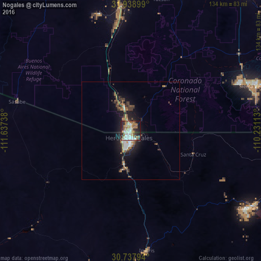
Analysis of Nogales night lights 2016
Square area 10x10 km:
 11.89%
90-99
13.46%80-89
5.77%70-79
9.09%60-69
14.51%50-59
5.42%40-49
3.5%30-39
7.17%20-29
15.91%10-19
12.59%0-9
0.7%Square area 50x50 km:
0.94%90-99
1.01%80-89
0.29%70-79
0.93%60-69
1.58%50-59
0.71%40-49
1.05%30-39
1.3%20-29
2.15%10-19
5.01%0-9
85.03%Clear (daylight) street map image can be seen on geolist.org.
Map coordinates:
31° 56' 20.4" North, 111° 38' 14.6" West
31° 20' 25.4" North, 110° 56' 3.3" West
30° 44' 16.6" North, 110° 13' 52.1" West
Some cities around Nogales sort by population:
• Sierra Vista
64.4 km =40 mi,  68°
68°
• Cananea, MX
72.8 km =45.2 mi,  122°
122°
• Sahuarita
68.7 km =42.7 mi,  358°
358°
• Green Valley
57.4 km =35.7 mi,  354°
354°
• Rio Rico
15.1 km =9.4 mi,  344°
344°
• Sierra Vista Southeast
69.3 km =43.1 mi,  79°
79°
• Imuris, MX
61.8 km =38.4 mi,  172°
172°
• Corona de Tucson
71.1 km =44.2 mi,  12°
12°
5306611 (p: 20,252)
Sources (retrieved 2019-11-25):
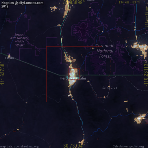
» Earth at Night: Flat Maps 2012, 2016