Berriozábal night lights from space
Night Light of Berriozábal (Chiapas) from space (Mexico) Src. Average luminocity for 10x10km area is 42.7641% and for 50x50km: 14.2161%.
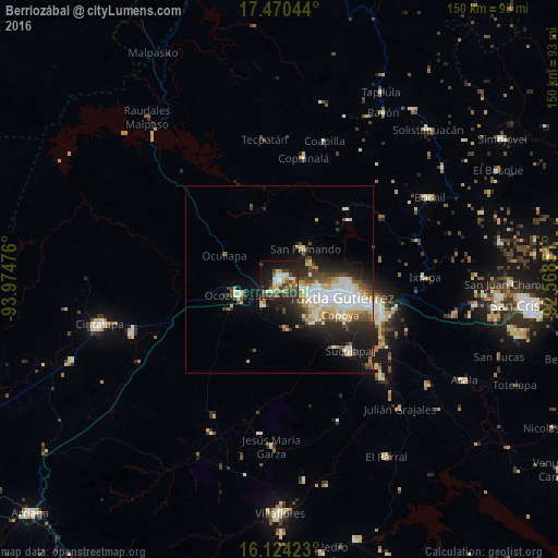
Analysis of Berriozábal night lights 2016
Square area 10x10 km:
 2.81%
2.81%90-99
11.04%80-89
5.41%70-79
6.28%60-69
2.81%50-59
6.06%40-49
10.82%30-39
9.31%20-29
9.09%10-19
29.65%0-9
6.71%Square area 50x50 km:
2.36%90-99
3.63%80-89
1.94%70-79
1.34%60-69
0.68%50-59
1.6%40-49
2.47%30-39
1.75%20-29
3.84%10-19
7.79%0-9
72.61%Clear (daylight) street map image can be seen on geolist.org.
Map coordinates:
17° 28' 13.6" North, 93° 58' 29.1" West
16° 47' 54.7" North, 93° 16' 17.9" West
16° 7' 27.2" North, 92° 34' 6.6" West
Some cities around Berriozábal sort by population:
• Tuxtla
17.4 km =10.8 mi,  104°
104°
• Chiapa de Corzo
29.4 km =18.3 mi,  110°
110°
• Ocozocoautla de Espinosa
11.7 km =7.3 mi,  249°
249°
• Suchiapa
26.5 km =16.5 mi,  136°
136°
• San Fernando
10.6 km =6.6 mi,  40°
40°
• Copoya
18.7 km =11.6 mi,  120°
120°
• Copainalá
33.5 km =20.8 mi,  11°
11°
• Ixtapa
39 km =24.2 mi,  89°
89°
3532254 (p: 28,128)
Sources (retrieved 2019-11-25):
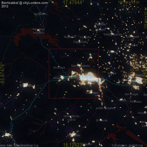
» Earth at Night: Flat Maps 2012, 2016