Tuxtla night lights from space
Night Light of Tuxtla (Chiapas) from space (Mexico) Src. Average luminocity for 10x10km area is 90.9091% and for 50x50km: 17.53%.
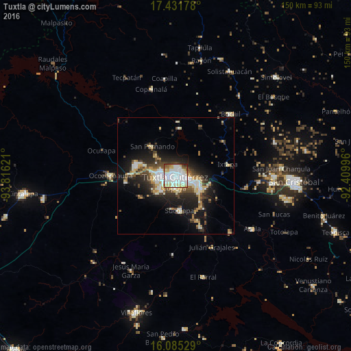
Analysis of Tuxtla night lights 2016
Square area 10x10 km:
 37.23%
90-99
35.93%80-89
12.34%70-79
3.68%60-69
2.6%50-59
4.76%40-49
2.16%30-39
0.22%20-29
1.08%10-19
0%0-9
0%Square area 50x50 km:
2.53%90-99
4.32%80-89
2.44%70-79
1.75%60-69
1.08%50-59
1.95%40-49
2.86%30-39
2.51%20-29
4.81%10-19
10.61%0-9
65.15%Clear (daylight) street map image can be seen on geolist.org.
Map coordinates:
17° 25' 54.4" North, 93° 48' 58.4" West
16° 45' 35" North, 93° 6' 47.1" West
16° 5' 7" North, 92° 24' 35.9" West
Some cities around Tuxtla sort by population:
• Chiapa de Corzo
12.2 km =7.6 mi,  118°
118°
• Ocozocoautla de Espinosa
27.9 km =17.3 mi,  270°
270°
• Berriozábal
17.4 km =10.8 mi,  284°
284°
• Suchiapa
15 km =9.3 mi,  174°
174°
• Bochil
35.3 km =21.9 mi,  41°
41°
• San Fernando
16 km =9.9 mi,  321°
321°
• Copoya
5.4 km =3.4 mi,  188°
188°
• Ixtapa
22.6 km =14 mi,  77°
77°
3515001 (p: 537,102)
Sources (retrieved 2019-11-25):
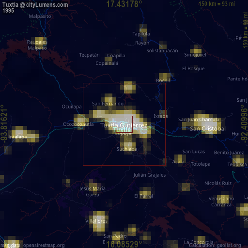
» NASA, Earths city lights 1995
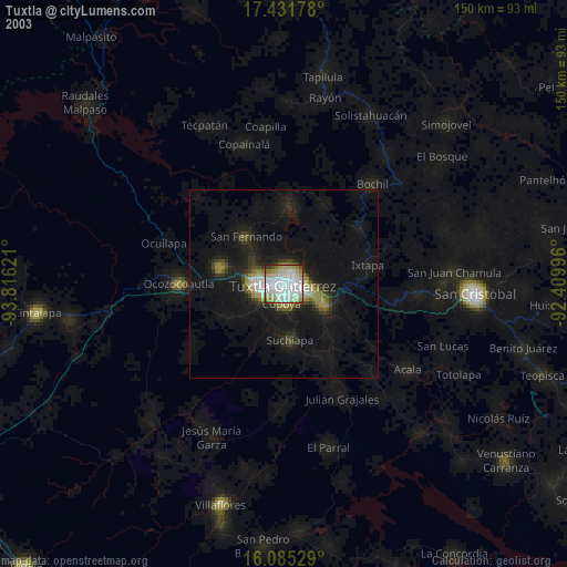
» NASA city lights 2003
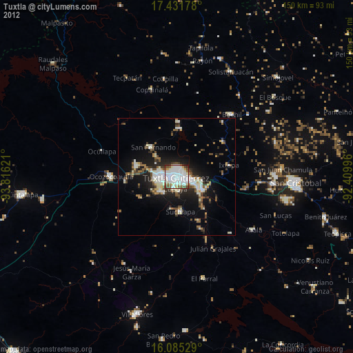
» Earth at Night: Flat Maps 2012, 2016