Ayutla night lights from space
Night Light of Ayutla (Jalisco) from space (Mexico) Src. Average luminocity for 10x10km area is 3.881% and for 50x50km: 0.5858%.
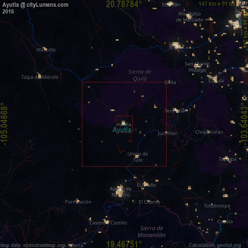
Analysis of Ayutla night lights 2016
Square area 10x10 km:
 0%
0%90-99
0%80-89
0.79%70-79
1.59%60-69
0.79%50-59
0%40-49
1.59%30-39
0.79%20-29
0%10-19
0%0-9
94.44%Square area 50x50 km:
0%90-99
0%80-89
0.11%70-79
0.17%60-69
0.09%50-59
0.12%40-49
0.21%30-39
0.15%20-29
0.06%10-19
0.03%0-9
99.05%Clear (daylight) street map image can be seen on geolist.org.
Map coordinates:
20° 47' 16.2" North, 105° 2' 48" West
20° 7' 44.7" North, 104° 20' 36.8" West
19° 28' 3" North, 103° 38' 25.5" West
Some cities around Ayutla sort by population:
• Autlán de Navarro
40.2 km =25 mi,  183°
183°
• El Salto
28 km =17.4 mi,  324°
324°
• El Grullo
38.2 km =23.7 mi,  159°
159°
• San Gabriel
54 km =33.6 mi,  138°
138°
• Tecolotlán
31.9 km =19.8 mi,  75°
75°
• Unión de Tula
20.7 km =12.9 mi, 157°
• San Martín Hidalgo
55.1 km =34.2 mi,  51°
51°
• La Tijera
26.1 km =16.2 mi,  193°
193°
4017924 (p: 7,244)
Sources (retrieved 2019-11-25):
» Earth at Night: Flat Maps 2012, 2016