El Salto night lights from space
Night Light of El Salto (Jalisco) from space (Mexico) Src. Average luminocity for 10x10km area is 0.3788% and for 50x50km: 0.374%.
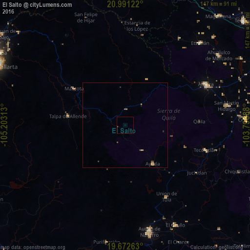
Analysis of El Salto night lights 2016
Square area 10x10 km:
 0%
0%90-99
0%80-89
0%70-79
0%60-69
0%50-59
0.57%40-49
0.19%30-39
0%20-29
0%10-19
0%0-9
99.24%Square area 50x50 km:
0%90-99
0%80-89
0.06%70-79
0.16%60-69
0.03%50-59
0.09%40-49
0.1%30-39
0.1%20-29
0.03%10-19
0.03%0-9
99.39%Clear (daylight) street map image can be seen on geolist.org.
Map coordinates:
20° 59' 28.4" North, 105° 12' 11.3" West
20° 19' 60" North, 104° 30' 0" West
19° 40' 21.5" North, 103° 47' 48.8" West
Some cities around El Salto sort by population:
• Ameca
53 km =32.9 mi,  63°
63°
• Tecolotlán
49.4 km =30.7 mi,  107°
107°
• Unión de Tula
48.4 km =30.1 mi,  149°
149°
• Talpa de Allende
34 km =21.1 mi,  278°
278°
• Mascota
36.9 km =22.9 mi,  305°
305°
• San Martín Hidalgo
60.6 km =37.7 mi,  79°
79°
• Ayutla
28 km =17.4 mi,  144°
144°
• La Tijera
49.3 km =30.6 mi,  167°
167°
4007684 (p: 22,550)
Sources (retrieved 2019-11-25):
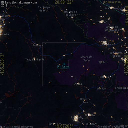
» Earth at Night: Flat Maps 2012, 2016