El Grullo night lights from space
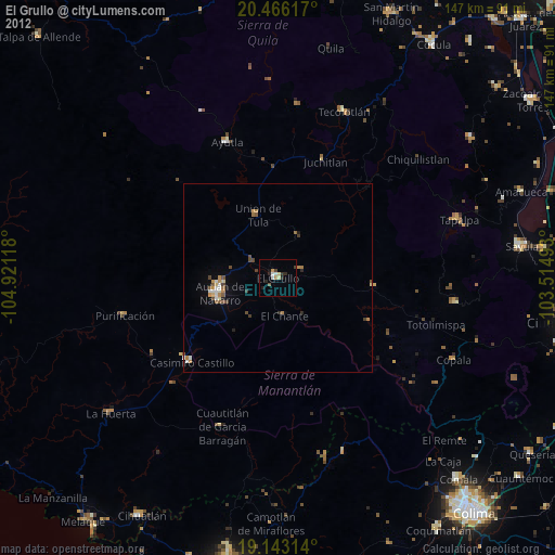
Night Light of El Grullo (Jalisco) from space (Mexico) Src. Average luminocity for 10x10km area is 7.6488% and for 50x50km: 1.7803%.

Analysis of El Grullo night lights 2016
Square area 10x10 km:
 0%
0%90-99
0%80-89
2.48%70-79
0.83%60-69
2.69%50-59
0.62%40-49
1.45%30-39
0.41%20-29
2.27%10-19
0.41%0-9
88.84%Square area 50x50 km:
0.01%90-99
0.03%80-89
0.45%70-79
0.41%60-69
0.51%50-59
0.17%40-49
0.3%30-39
0.11%20-29
0.22%10-19
0.45%0-9
97.34%Clear (daylight) street map image can be seen on geolist.org.
Map coordinates:
20° 27' 58.2" North, 104° 55' 16.2" West
19° 48' 21.7" North, 104° 13' 5" West
19° 8' 35.3" North, 103° 30' 53.7" West
Some cities around El Grullo sort by population:
• Autlán de Navarro
16.1 km =10 mi,  254°
254°
• San Gabriel
23.2 km =14.4 mi,  100°
100°
• La Resolana
31.8 km =19.8 mi,  225°
225°
• Tecolotlán
47.5 km =29.5 mi,  22°
22°
• Unión de Tula
17.5 km =10.9 mi,  342°
342°
• Ayutla
38.2 km =23.7 mi, 339°
• Tapalpa
50.4 km =31.3 mi,  72°
72°
• La Tijera
21.7 km =13.5 mi,  298°
298°
4009697 (p: 20,924)
Sources (retrieved 2019-11-25):
» Earth at Night: Flat Maps 2012, 2016