Ciudad Altamirano night lights from space
Night Light of Ciudad Altamirano (Guerrero) from space (Mexico) Src. Average luminocity for 10x10km area is 23.0579% and for 50x50km: 2.1793%.
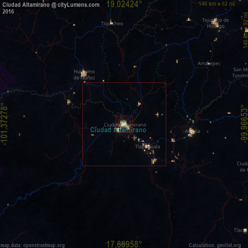
Analysis of Ciudad Altamirano night lights 2016
Square area 10x10 km:
 0.41%
0.41%90-99
0.62%80-89
5.79%70-79
4.34%60-69
3.93%50-59
2.27%40-49
7.23%30-39
4.75%20-29
2.89%10-19
14.46%0-9
53.31%Square area 50x50 km:
0.02%90-99
0.03%80-89
0.37%70-79
0.49%60-69
0.24%50-59
0.26%40-49
0.68%30-39
0.56%20-29
0.41%10-19
0.91%0-9
96.03%Clear (daylight) street map image can be seen on geolist.org.
Map coordinates:
19° 1' 27.3" North, 101° 22' 22" West
18° 21' 29.5" North, 100° 40' 10.7" West
17° 41' 22.5" North, 99° 57' 59.5" West
Some cities around Ciudad Altamirano sort by population:
• Tejupilco de Hidalgo
81.6 km =50.7 mi,  41°
41°
• Huetamo de Núñez
38.5 km =23.9 mi,  321°
321°
• Arcelia
41.2 km =25.6 mi,  96°
96°
• Tlapehuala
19.1 km =11.9 mi,  133°
133°
• Villa Luvianos
68.3 km =42.4 mi,  24°
24°
• Villa Luvianos
73.7 km =45.8 mi,  32°
32°
• Coyuca de Catalán
4.7 km =2.9 mi,  220°
220°
• Ajuchitlán del Progreso
30.2 km =18.8 mi,  139°
139°
4013727 (p: 25,168)
Sources (retrieved 2019-11-25):
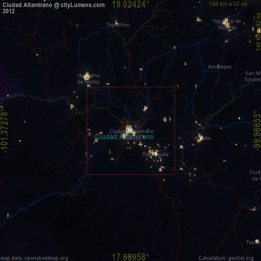
» Earth at Night: Flat Maps 2012, 2016