Ajuchitlán del Progreso night lights from space
Night Light of Ajuchitlán del Progreso (Guerrero) from space (Mexico) Src. Average luminocity for 10x10km area is 5.697% and for 50x50km: 2.5509%.
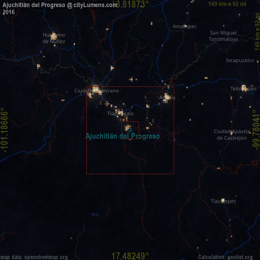
Analysis of Ajuchitlán del Progreso night lights 2016
Square area 10x10 km:
 0%
0%90-99
0.22%80-89
0.65%70-79
0.87%60-69
1.73%50-59
0.22%40-49
0.65%30-39
2.81%20-29
1.95%10-19
1.3%0-9
89.61%Square area 50x50 km:
0.02%90-99
0.06%80-89
0.45%70-79
0.59%60-69
0.35%50-59
0.3%40-49
0.74%30-39
0.64%20-29
0.51%10-19
0.81%0-9
95.53%Clear (daylight) street map image can be seen on geolist.org.
Map coordinates:
18° 49' 7.4" North, 101° 11' 12" West
18° 9' 6.8" North, 100° 29' 0.7" West
17° 28' 57" North, 99° 46' 49.5" West
Some cities around Ajuchitlán del Progreso sort by population:
• Ciudad Altamirano
30.2 km =18.8 mi,  319°
319°
• Teloloapan
68.9 km =42.8 mi,  69°
69°
• Huetamo de Núñez
68.7 km =42.7 mi, 320°
• Arcelia
28.3 km =17.6 mi,  49°
49°
• Tlapehuala
11.5 km =7.1 mi,  329°
329°
• Apaxtla de Castrejón
58.3 km =36.2 mi,  92°
92°
• Coyuca de Catalán
29.9 km =18.6 mi,  310°
310°
• Tlacotepec
66.8 km =41.5 mi,  127°
127°
4019039 (p: 6,329)
Sources (retrieved 2019-11-25):
» Earth at Night: Flat Maps 2012, 2016