Tlacotepec night lights from space
Night Light of Tlacotepec (Guerrero) from space (Mexico) Src. Average luminocity for 10x10km area is 3.8442% and for 50x50km: 0.3574%.
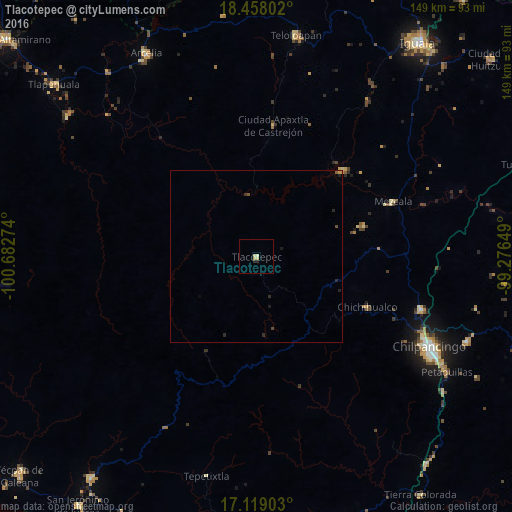
Analysis of Tlacotepec night lights 2016
Square area 10x10 km:
 0%
0%90-99
0%80-89
3.46%70-79
0%60-69
0%50-59
0%40-49
0%30-39
0.22%20-29
1.3%10-19
0.22%0-9
94.81%Square area 50x50 km:
0%90-99
0%80-89
0.14%70-79
0.04%60-69
0%50-59
0.05%40-49
0.08%30-39
0.04%20-29
0.25%10-19
0.1%0-9
99.29%Clear (daylight) street map image can be seen on geolist.org.
Map coordinates:
18° 27' 28.9" North, 100° 40' 57.9" West
17° 47' 23.2" North, 99° 58' 46.6" West
17° 7' 8.5" North, 99° 16' 35.4" West
Some cities around Tlacotepec sort by population:
• Chilpancingo
56.8 km =35.3 mi,  117°
117°
• Zumpango del Río
50.2 km =31.2 mi,  107°
107°
• Teloloapan
65.1 km =40.5 mi,  10°
10°
• Tixtla de Guerrero
66.4 km =41.3 mi, 111°
• Chichihualco
35.3 km =21.9 mi, 114°
• Petaquillas
64.9 km =40.3 mi, 121°
• Apaxtla de Castrejón
38.3 km =23.8 mi, 7°
• Atliaca
65.9 km =40.9 mi,  103°
103°
3515477 (p: 6,848)
Sources (retrieved 2019-11-25):
» Earth at Night: Flat Maps 2012, 2016