Tlapehuala night lights from space
Night Light of Tlapehuala (Guerrero) from space (Mexico) Src. Average luminocity for 10x10km area is 13.5628% and for 50x50km: 2.3532%.
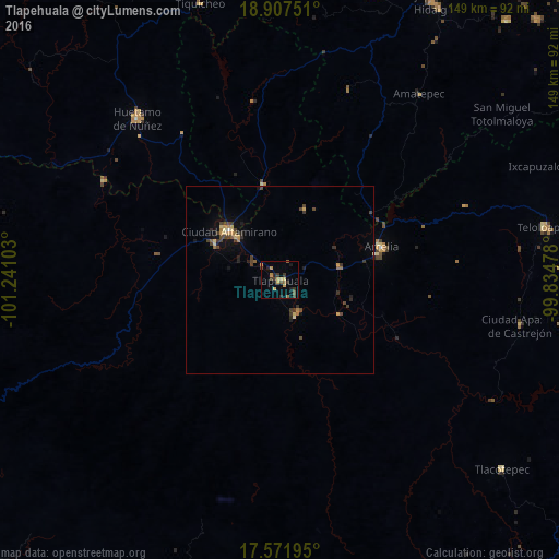
Analysis of Tlapehuala night lights 2016
Square area 10x10 km:
 0%
0%90-99
0%80-89
1.73%70-79
5.63%60-69
0.43%50-59
2.16%40-49
2.81%30-39
4.33%20-29
3.46%10-19
1.95%0-9
77.49%Square area 50x50 km:
0.02%90-99
0.03%80-89
0.36%70-79
0.52%60-69
0.27%50-59
0.26%40-49
0.72%30-39
0.68%20-29
0.49%10-19
0.89%0-9
95.77%Clear (daylight) street map image can be seen on geolist.org.
Map coordinates:
18° 54' 27" North, 101° 14' 27.7" West
18° 14' 27.6" North, 100° 32' 16.4" West
17° 34' 19" North, 99° 50' 5.2" West
Some cities around Tlapehuala sort by population:
• Ciudad Altamirano
19.1 km =11.9 mi,  313°
313°
• Teloloapan
71.7 km =44.6 mi,  78°
78°
• Huetamo de Núñez
57.4 km =35.7 mi,  318°
318°
• Arcelia
28.4 km =17.6 mi,  72°
72°
• Villa Luvianos
76.5 km =47.5 mi,  10°
10°
• Apaxtla de Castrejón
65.1 km =40.5 mi,  100°
100°
• Coyuca de Catalán
19.5 km =12.1 mi,  299°
299°
• Ajuchitlán del Progreso
11.5 km =7.1 mi,  149°
149°
3981462 (p: 9,331)
Sources (retrieved 2019-11-25):
» Earth at Night: Flat Maps 2012, 2016