Arandas night lights from space
Night Light of Arandas (Jalisco) from space (Mexico) Src. Average luminocity for 10x10km area is 29.5189% and for 50x50km: 5.5535%.
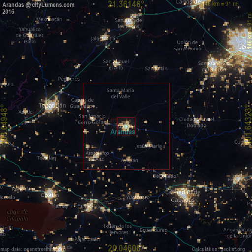
Analysis of Arandas night lights 2016
Square area 10x10 km:
 0.57%
0.57%90-99
0.95%80-89
11.17%70-79
7.58%60-69
3.41%50-59
0.95%40-49
5.49%30-39
3.41%20-29
3.6%10-19
30.68%0-9
32.2%Square area 50x50 km:
0.08%90-99
0.33%80-89
1.18%70-79
0.82%60-69
0.83%50-59
0.51%40-49
1.28%30-39
1.1%20-29
1.05%10-19
2.75%0-9
90.07%Clear (daylight) street map image can be seen on geolist.org.
Map coordinates:
21° 21' 41.3" North, 103° 2' 58.1" West
20° 42' 18.7" North, 102° 20' 46.9" West
20° 2' 45.8" North, 101° 38' 35.6" West
Some cities around Arandas sort by population:
• Atotonilco el Alto
24.1 km =15 mi,  224°
224°
• Capilla de Guadalupe
28.9 km =18 mi,  298°
298°
• Ayotlán
19.7 km =12.2 mi,  173°
173°
• Degollado
33.5 km =20.8 mi,  142°
142°
• San Ignacio Cerro Gordo
20.1 km =12.5 mi,  282°
282°
• Jesús María
17 km =10.6 mi,  130°
130°
• San Francisco de Asís
25.6 km =15.9 mi,  241°
241°
• San José de Gracia
23.5 km =14.6 mi,  261°
261°
4018348 (p: 52,175)
Sources (retrieved 2019-11-25):
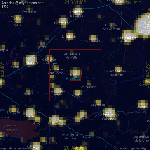
» NASA, Earths city lights 1995
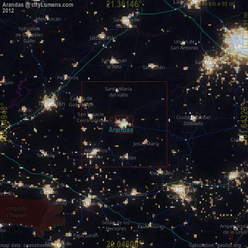
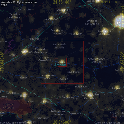
» NASA city lights 2003
» Earth at Night: Flat Maps 2012, 2016