Apan night lights from space
Night Light of Apan (Hidalgo) from space (Mexico) Src. Average luminocity for 10x10km area is 22.75% and for 50x50km: 10.585%.
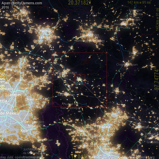
Analysis of Apan night lights 2016
Square area 10x10 km:
 0.21%
0.21%90-99
2.07%80-89
7.23%70-79
2.07%60-69
2.07%50-59
4.75%40-49
3.1%30-39
1.45%20-29
3.51%10-19
26.86%0-9
46.69%Square area 50x50 km:
0.27%90-99
0.47%80-89
2.45%70-79
1.58%60-69
1.12%50-59
1.01%40-49
1.88%30-39
2.17%20-29
2.22%10-19
12.52%0-9
74.32%Clear (daylight) street map image can be seen on geolist.org.
Map coordinates:
20° 22' 18.6" North, 99° 9' 14.4" West
19° 42' 40.6" North, 98° 27' 3.1" West
19° 2' 52.8" North, 97° 44' 51.9" West
Some cities around Apan sort by population:
• Calpulalpan
18.5 km =11.5 mi,  222°
222°
• Ciudad Sahagun
14.8 km =9.2 mi,  298°
298°
• Tepeapulco
13.7 km =8.5 mi,  308°
308°
• Ciudad de Nanacamilpa
25.8 km =16 mi,  200°
200°
• Emiliano Zapata
11.7 km =7.3 mi,  237°
237°
• Tlanalapa
20 km =12.4 mi, 306°
• Benito Juárez
14.1 km =8.8 mi,  170°
170°
• Jaltepec
19.3 km =12 mi,  276°
276°
3532815 (p: 26,642)
Sources (retrieved 2019-11-25):
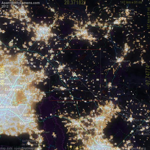
» Earth at Night: Flat Maps 2012, 2016