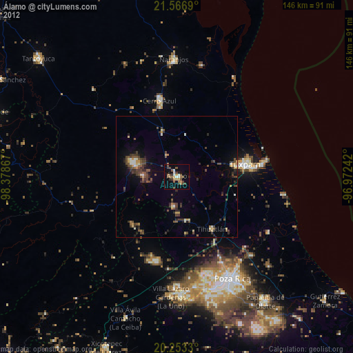
Álamo night lights from space
Night Light of Álamo (Veracruz) from space (Mexico) Src. Average luminocity for 10x10km area is 22.7817% and for 50x50km: 6.1258%.
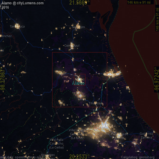
Analysis of Álamo night lights 2016
Square area 10x10 km:
 0.6%
0.6%90-99
0.99%80-89
3.17%70-79
5.95%60-69
0.99%50-59
3.97%40-49
7.94%30-39
6.55%20-29
1.79%10-19
17.26%0-9
50.79%Square area 50x50 km:
0.18%90-99
0.2%80-89
0.52%70-79
0.98%60-69
0.8%50-59
0.81%40-49
1.83%30-39
1.96%20-29
1.78%10-19
3.79%0-9
87.15%Clear (daylight) street map image can be seen on geolist.org.
Map coordinates:
21° 34' 0.8" North, 98° 22' 43.2" West
20° 54' 41.5" North, 97° 40' 31.9" West
20° 15' 11.9" North, 96° 58' 20.7" West
Some cities around Álamo sort by population:
• Túxpam de Rodríguez Cano
28.3 km =17.6 mi,  79°
79°
• Cerro Azul
31.9 km =19.8 mi,  347°
347°
• Alto Lucero
24.7 km =15.3 mi, 79°
• Tihuatlan
26.4 km =16.4 mi,  146°
146°
• Santiago de la Peña
28.4 km =17.6 mi, 82°
• Totolapa
44.4 km =27.6 mi, 152°
• Venustiano Carranza
45 km =28 mi,  179°
179°
• Tepetzintla
33.5 km =20.8 mi,  326°
326°
3533107 (p: 25,159)
Sources (retrieved 2019-11-25):
» Earth at Night: Flat Maps 2012, 2016