Cerro Azul night lights from space
Night Light of Cerro Azul (Veracruz) from space (Mexico) Src. Average luminocity for 10x10km area is 17.7956% and for 50x50km: 3.08%.
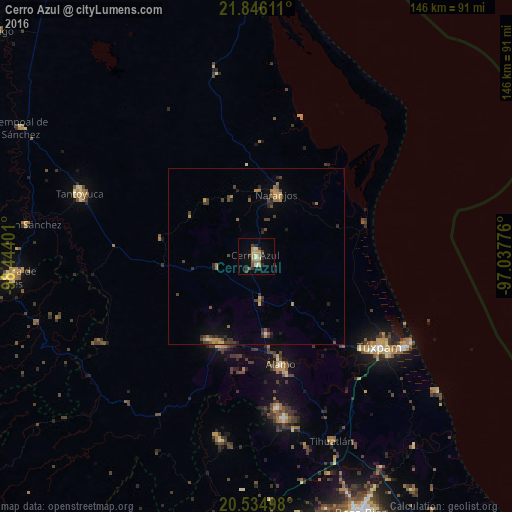
Analysis of Cerro Azul night lights 2016
Square area 10x10 km:
 0.79%
0.79%90-99
2.18%80-89
1.98%70-79
3.97%60-69
2.98%50-59
1.98%40-49
1.39%30-39
5.36%20-29
3.57%10-19
3.57%0-9
72.22%Square area 50x50 km:
0.07%90-99
0.12%80-89
0.28%70-79
0.62%60-69
0.65%50-59
0.32%40-49
0.86%30-39
0.71%20-29
0.79%10-19
0.78%0-9
94.79%Clear (daylight) street map image can be seen on geolist.org.
Map coordinates:
21° 50' 46" North, 98° 26' 38.4" West
21° 11' 31.2" North, 97° 44' 27.2" West
20° 32' 5.9" North, 97° 2' 15.9" West
Some cities around Cerro Azul sort by population:
• Álamo
31.9 km =19.8 mi,  167°
167°
• Naranjos
18.5 km =11.5 mi,  17°
17°
• Alto Lucero
40.8 km =25.4 mi,  130°
130°
• Chinampa de Gorostiza
18.6 km =11.6 mi,  1°
1°
• Tepetzintla
12 km =7.5 mi,  254°
254°
• Tamiahua
32 km =19.9 mi,  72°
72°
• Tamalín
18 km =11.2 mi,  335°
335°
• Citlaltépec
20.9 km =13 mi,  316°
316°
3531321 (p: 22,268)
Sources (retrieved 2019-11-25):
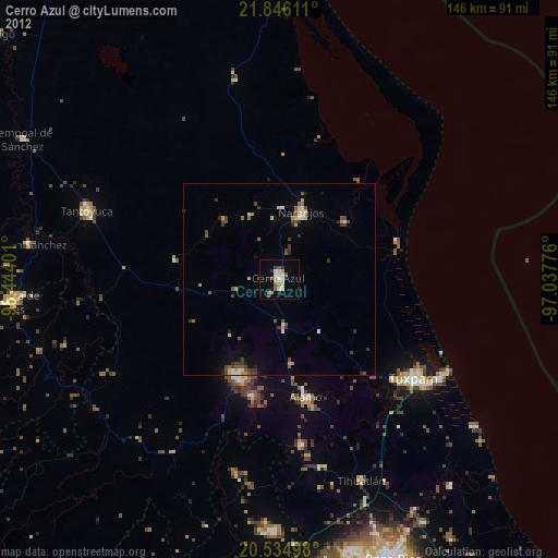
» Earth at Night: Flat Maps 2012, 2016