Livingstonia night lights from space
Night Light of Livingstonia (Northern Region) from space (Malawi) Src. Average luminocity for 10x10km area is 0% and for 50x50km: 0.0688%.
Analysis of Livingstonia night lights 2016
Square area 10x10 km:
 0%
0%90-99
0%80-89
0%70-79
0%60-69
0%50-59
0%40-49
0%30-39
0%20-29
0%10-19
0%0-9
100%Square area 50x50 km:
0%90-99
0%80-89
0%70-79
0.03%60-69
0%50-59
0%40-49
0.05%30-39
0.02%20-29
0.03%10-19
0%0-9
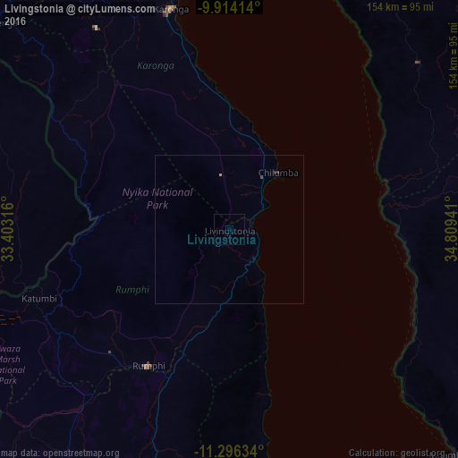
99.87%Clear (daylight) street map image can be seen on geolist.org.
Map coordinates:
9° 54' 50.9" South, 33° 24' 11.4" East
10° 36' 21.7" South, 34° 6' 22.6" East
11° 17' 46.8" South, 34° 48' 33.9" East
Some cities around Livingstonia sort by population:
• Mzuzu
96 km =59.7 mi,  185°
185°
• Karonga
77.2 km =48 mi,  345°
345°
• Rumphi
53.3 km =33.1 mi,  210°
210°
• Matiri, TZ
88.2 km =54.8 mi,  100°
100°
• Mlangali, TZ
101.9 km =63.3 mi,  26°
26°
• Liuli, TZ
78.3 km =48.7 mi,  132°
132°
• Mbamba Bay, TZ
104.3 km =64.8 mi,  136°
136°
• Manda, TZ
54.4 km =33.8 mi,  73°
73°
927856 (p: 5,552)
Sources (retrieved 2019-11-25):
» Earth at Night: Flat Maps 2012, 2016