Mbinga night lights from space
Night Light of Mbinga (Ruvuma) from space (Tanzania) Src. Average luminocity for 10x10km area is 5.1385% and for 50x50km: 0.21%.
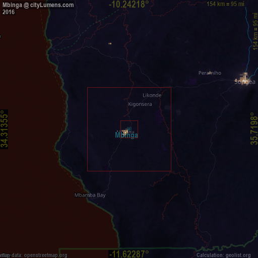
Analysis of Mbinga night lights 2016
Square area 10x10 km:
100  0%
0%
90-99 0%
80-89 0%
70-79 0.87%
60-69 0%
50-59 2.81%
40-49 4.11%
30-39 0%
20-29 1.52%
10-19 1.95%
0-9 88.74%
0%90-99
0%80-89
0%70-79
0.87%60-69
0%50-59
2.81%40-49
4.11%30-39
0%20-29
1.52%10-19
1.95%0-9
88.74%Square area 50x50 km:
100 0%
90-99 0%
80-89 0%
70-79 0.03%
60-69 0%
50-59 0.11%
40-49 0.16%
30-39 0%
20-29 0.06%
10-19 0.08%
0-9 99.56%
0%90-99
0%80-89
0%70-79
0.03%60-69
0%50-59
0.11%40-49
0.16%30-39
0%20-29
0.06%10-19
0.08%0-9
99.56%Clear (daylight) street map image can be seen on geolist.org.
Map coordinates:
10° 14' 31.8" South, 34° 18' 48.8" East
10° 55' 60" South, 35° 1' 0" East
11° 37' 22.3" South, 35° 43' 11.3" East
Some cities around Mbinga sort by population:
• Songea
74.5 km =46.3 mi,  68°
68°
• Kigonsera
15.3 km =9.5 mi,  13°
13°
• Maposeni
57.2 km =35.5 mi,  47°
47°
• Matiri
24 km =14.9 mi,  327°
327°
• Tingi
40.8 km =25.4 mi,  177°
177°
• Liuli
45 km =28 mi,  248°
248°
• Mbamba Bay
47.5 km =29.5 mi,  215°
215°
• Manda
70.2 km =43.6 mi,  317°
317°
877998 (p: 25,192)
Sources (retrieved 2019-11-25):
» Earth at Night: Flat Maps 2012, 2016