Port Louis night lights from space
Night Light of Port Louis from space (Mauritius) Src. Average luminocity for 10x10km area is 66.6627% and for 50x50km: 16.9231%.
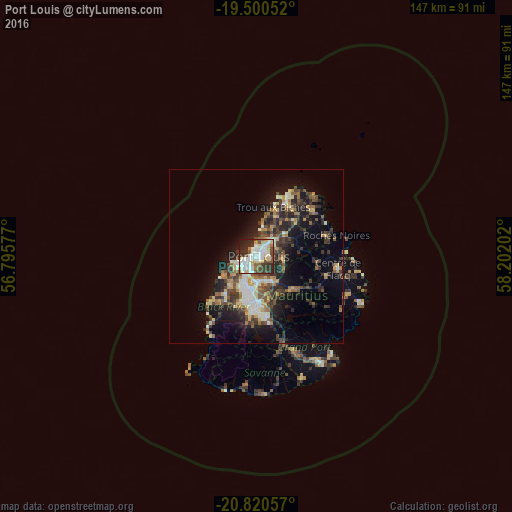
Analysis of Port Louis night lights 2016
Square area 10x10 km:
 17.26%
90-99
22.42%80-89
8.93%70-79
3.17%60-69
3.97%50-59
4.76%40-49
10.52%30-39
10.52%20-29
14.29%10-19
4.17%0-9
0%Square area 50x50 km:
1.65%90-99
2.92%80-89
2.29%70-79
1.68%60-69
1.94%50-59
2.08%40-49
3.67%30-39
3.83%20-29
5.81%10-19
9.34%0-9
64.8%Clear (daylight) street map image can be seen on geolist.org.
Map coordinates:
19° 30' 1.9" South, 56° 47' 44.8" East
20° 9' 43" South, 57° 29' 56" East
20° 49' 14.1" South, 58° 12' 7.3" East
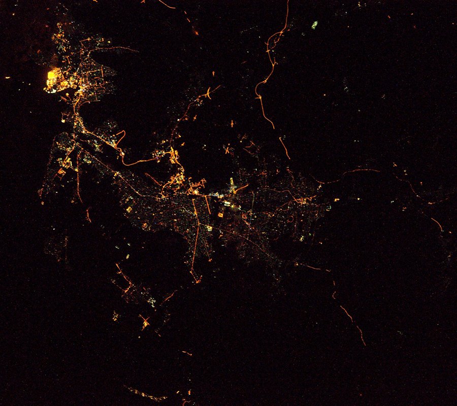
Fantastic image of Port Louis from space taken by astronauts [src2], but I don't have information about it's orientation, scale or angle. If necessary, it was rotated manually, so North points approximately to upper direction. Click to zoom in:
Some cities around Port Louis sort by population:
• Beau Bassin-Rose Hill
8.6 km =5.3 mi,  203°
203°
• Saint Pierre
6.6 km =4.1 mi,  159°
159°
• Le Hochet
3.8 km =2.4 mi,  37°
37°
• Pailles
3.6 km =2.2 mi, 197°
• Terre Rouge
4.8 km =3 mi,  33°
33°
• Moka
6.3 km =3.9 mi,  182°
182°
• Long Mountain
6.9 km =4.3 mi,  72°
72°
• Petite Rivière
6.7 km =4.2 mi,  235°
235°
934154 (p: 155,226)
Sources (retrieved 2019-11-25):
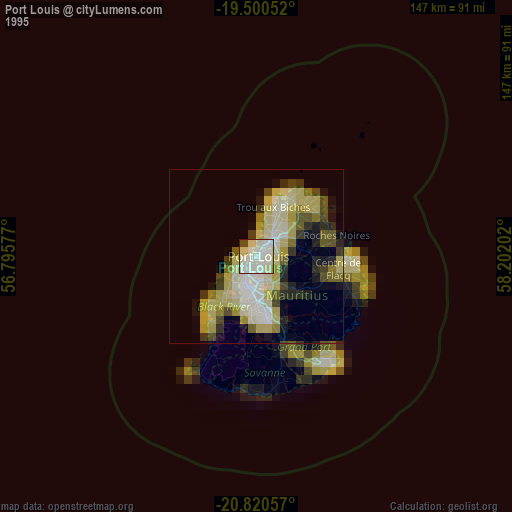
» NASA, Earths city lights 1995
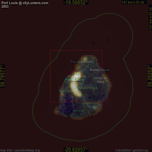
» NASA city lights 2003
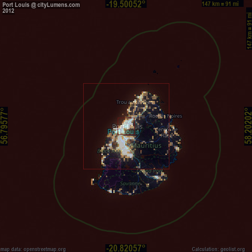
» Earth at Night: Flat Maps 2012, 2016
Src.2: Tim Kopra Twitter@astro_tim, 2016-05-05