Le Hochet night lights from space
Night Light of Le Hochet (Pamplemousses) from space (Mauritius) Src. Average luminocity for 10x10km area is 60.0337% and for 50x50km: 16.9596%.
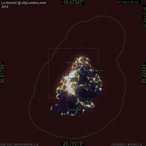
Analysis of Le Hochet night lights 2016
Square area 10x10 km:
 11.9%
11.9%90-99
14.29%80-89
9.72%70-79
5.16%60-69
6.15%50-59
4.17%40-49
16.27%30-39
11.71%20-29
14.88%10-19
5.56%0-9
0.2%Square area 50x50 km:
1.65%90-99
2.95%80-89
2.27%70-79
1.71%60-69
2.01%50-59
2.05%40-49
3.71%30-39
3.87%20-29
5.83%10-19
9.35%0-9
64.6%Clear (daylight) street map image can be seen on geolist.org.
Map coordinates:
19° 28' 24.5" South, 56° 49' 4.8" East
20° 8' 6" South, 57° 31' 16" East
20° 47' 37.5" South, 58° 13' 27.3" East
Some cities around Le Hochet sort by population:
• Port Louis
3.8 km =2.4 mi,  217°
217°
• Triolet
9.1 km =5.7 mi,  19°
19°
• Pailles
7.3 km =4.5 mi,  208°
208°
• Terre Rouge
1 km =0.6 mi, 19°
• Pamplemousses
6.2 km =3.9 mi,  56°
56°
• Long Mountain
4.4 km =2.7 mi,  101°
101°
• Pointe aux Piments
7.8 km =4.8 mi,  1°
1°
• Morcellement Saint André
8.6 km =5.3 mi,  35°
35°
1106809 (p: 15,197)
Sources (retrieved 2019-11-25):
» Earth at Night: Flat Maps 2012, 2016