Petite Rivière night lights from space
Night Light of Petite Rivière (Black River) from space (Mauritius) Src. Average luminocity for 10x10km area is 60.6488% and for 50x50km: 16.2574%.
Analysis of Petite Rivière night lights 2016
Square area 10x10 km:
 13.49%
90-99
18.06%80-89
9.13%70-79
6.75%60-69
5.95%50-59
5.16%40-49
7.34%30-39
6.35%20-29
10.12%10-19
13.69%0-9
3.97%Square area 50x50 km:
1.61%90-99
2.83%80-89
2.16%70-79
1.56%60-69
1.92%50-59
2.16%40-49
3.5%30-39
3.61%20-29
5.66%10-19
9.38%0-9
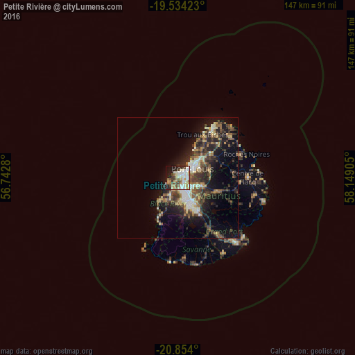
65.6%Clear (daylight) street map image can be seen on geolist.org.
Map coordinates:
19° 32' 3.2" South, 56° 44' 34.1" East
20° 11' 43.8" South, 57° 26' 45.3" East
20° 51' 14.4" South, 58° 8' 56.6" East
Some cities around Petite Rivière sort by population:
• Port Louis
6.7 km =4.2 mi,  55°
55°
• Beau Bassin-Rose Hill
4.7 km =2.9 mi,  153°
153°
• Quatre Bornes
8.3 km =5.2 mi,  155°
155°
• Saint Pierre
8.2 km =5.1 mi,  107°
107°
• Bambous
8 km =5 mi,  211°
211°
• Le Hochet
10.3 km =6.4 mi,  49°
49°
• Pailles
4.4 km =2.7 mi,  85°
85°
• Moka
5.8 km =3.6 mi,  116°
116°
934195 (p: 5,331)
Sources (retrieved 2019-11-25):
» Earth at Night: Flat Maps 2012, 2016